Nesselwängle
Located in Politischer Bezirk Reutte, Tyrol Coordinates: 47°28′42″ N 10°35′50″ E
- Population
- 455
- 455
- Elevation
- 1,484 m
- above sea level
- Local time
- UTC+01:00
- Europe/Vienna · UTC+01:00
- Places inside
- 8
- listed under Nesselwängle
About Nesselwängle
Nesselwängle is a municipality. Location: Politischer Bezirk Reutte, Tyrol. Population: 455. Elevation: 1,484 m.
In comparison
- No. 22 of 37 places in Politischer Bezirk Reutte by population
- Nearest larger town: Grän, 4 km NW
- 119 sights and natural places within 10 km Krinnenspitze, Haldensee
- Listed here: Mountain: 4, Village: 4
Places in Nesselwängle
8 places-
Nesselwängle Village381
-
Haller Village40
-
Rauth Village34
-
Gaicht Village
-
Gimpel Mountain
-
Krinnenspitze Mountain
-
Rote Flüh Mountain
-
Schartschrofen Mountain
Nearby attractions & nature
Everything nearby-
Haldensee Lake, Tyrol2.4 km W
-
Litnisschrofen Mountain, Grän2.9 km SW
-
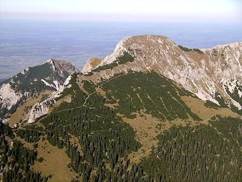 Großer Schlicke Mountain, Musau4.9 km NE
-
Schachen Natural site, Tyrol3.2 km NW
-
Hahnenkamm Mountain, Höfen3.4 km E
-
Hornbergle Mountain, Höfen4.3 km E
-
Läuferspitze Mountain, Grän3.5 km N
-
Gaichtspitze Mountain, Weißenbach am Lech3.5 km SE
Sources & licences
Data last updated: