Schnatterbachkopf
Located in Weißenbach am Lech, Politischer Bezirk Reutte Coordinates: 47°23′36″ N 10°30′13″ E
- Elevation
- 2,065 m
- above sea level
- Local time
- UTC+01:00
- Europe/Vienna · UTC+01:00
- Airports
- INN Innsbruck Airport65 km
- FMM Memmingen Allgau Airport69 km
About Schnatterbachkopf
Schnatterbachkopf is a mountain. Location: Weißenbach am Lech, Politischer Bezirk Reutte. Elevation: 2,065 m. The nearest airport is Innsbruck Airport (65 km). Nearby sights include Haldenspitze and Stallkarspitze.
Photos of Schnatterbachkopf
-
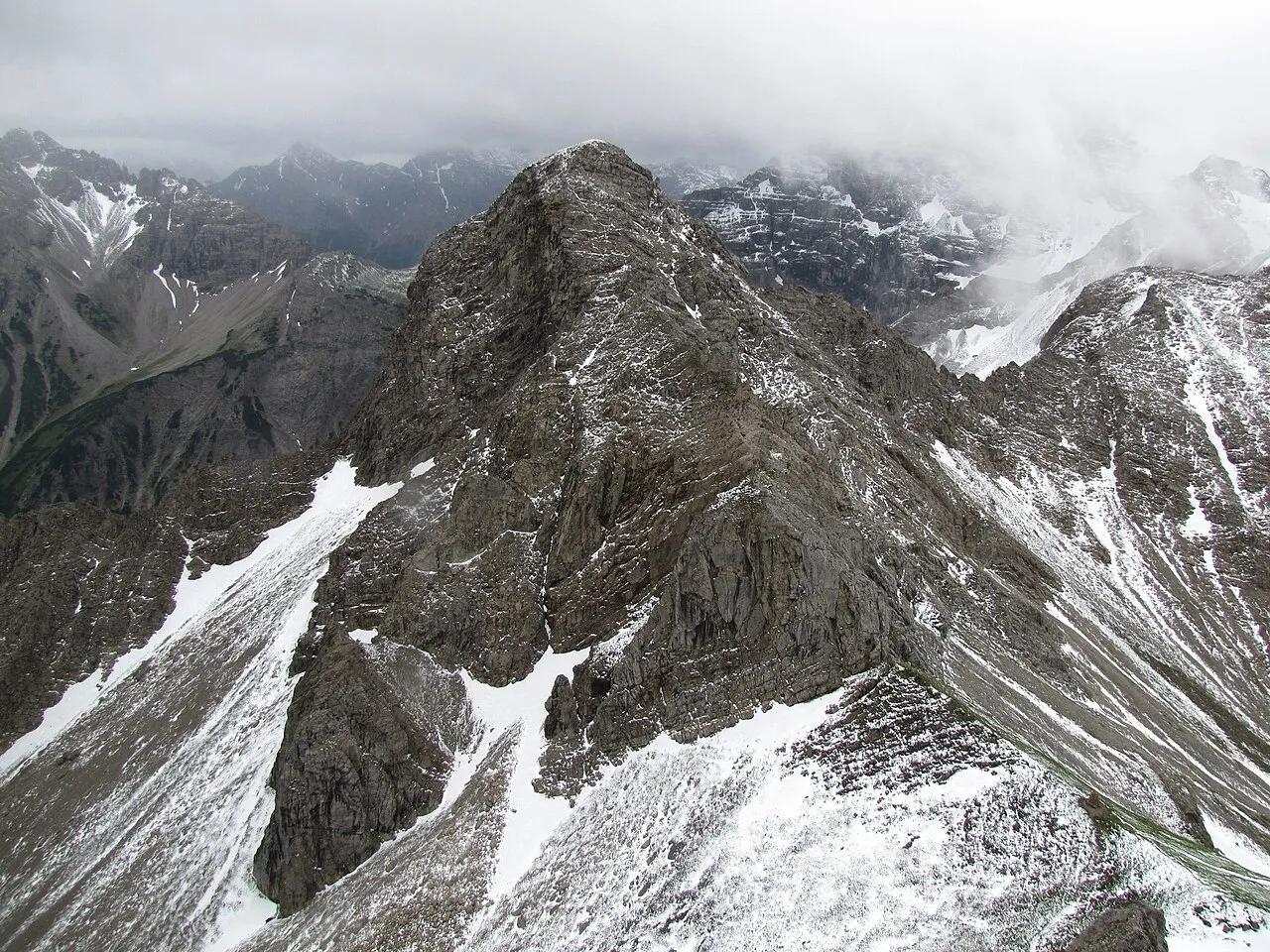
Kesselspitze Kauk0r · CC BY-SA 3.0 -
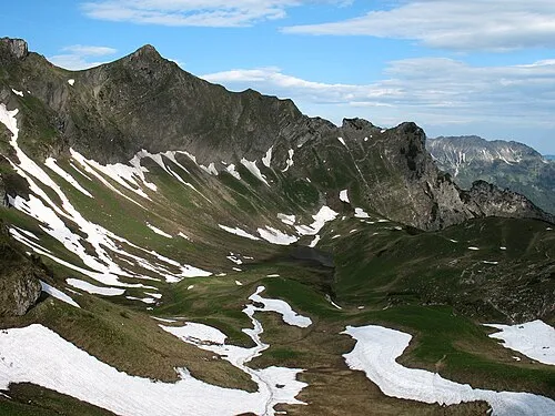
Falken Kauk0r · CC BY-SA 3.0 -
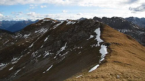
Knappenkopf Kauk0r · CC BY-SA 3.0 -
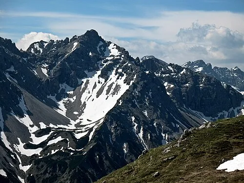
Zähne Kauk0r · CC BY-SA 3.0 -
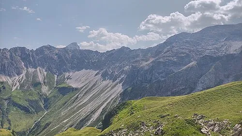
Vorderer Wilder Harald Hetzner · CC0


Climate of Schnatterbachkopf
This month · November
A cold month
Day 0° · Night -7° · Rain 91 mm
- Hottest month
- July (day 14°)
- Coldest month
- January (night -11°)
- Wettest month
- July (168 mm)
- Driest month
- February (76 mm)
Bars: average monthly low and high temperature. Below: precipitation. Monthly averages for 1970–2000 at about 18 km resolution, adjusted for elevation. Highlighted months are mild and relatively dry. Source: WorldClim 2.1 (CC BY 4.0).
Show values as a table
| Month | Jan | Feb | Mar | Apr | May | Jun | Jul | Aug | Sep | Oct | Nov | Dec |
|---|---|---|---|---|---|---|---|---|---|---|---|---|
| Average high (°C) | -4° | -3° | 0° | 3° | 8° | 11° | 14° | 13° | 10° | 6° | 0° | -3° |
| Average low (°C) | -11° | -11° | -8° | -5° | -1° | 2° | 4° | 5° | 2° | -2° | -7° | -9° |
| Precipitation (mm) | 77 | 76 | 86 | 94 | 115 | 155 | 168 | 155 | 107 | 82 | 91 | 87 |
How to get to Schnatterbachkopf
The nearest airport is Innsbruck Airport (INN), 65 km to the east as the crow flies. The nearest large city is Innsbruck, 69 km to the east.
Airports
- Innsbruck Airport (INN) Innsbruck 65 kmeast
- Memmingen Allgau Airport (FMM) Memmingen 69 kmnorth
- Sankt Gallen Altenrhein Airport (ACH) St. Gallen 72 kmwest
Nearby large cities
- Innsbruck Population: 132.5K 69 kmeast
- Augsburg Population: 301.1K 113 kmnorth
- Munich Population: 1.5M 115 kmnortheast
- Ulm Population: 120.5K 118 kmnorth
- Winterthur Population: 111.8K 135 kmwest
Straight-line distances; road distances are longer. Airport data: OurAirports.
Day trips from Schnatterbachkopf
Within 100 km: 367 historic and cultural sites, 5,297 natural sites, 1,243 lakes, rivers and coasts.
0–25 km680 places
- Vilsalpsee Lake 8 kmN
- Traualpsee Lake 6 kmN
- Rosskarsee Lake 18 kmS
- Plansee Lake 24 kmE
25–60 km2,424 places
- Kapfkopf Mountain 34 kmS
- Vesilspitze Mountain 54 kmS
- Fluchthorn Mountain 60 kmS
- Bürkelkopf Mountain 46 kmS
60–100 km3,803 places
- Bayerisches Oberland Mountain 71 kmNE
- Schloss Hirschberg am Haarsee Historic site 71 kmNE
- Lake Davos Lake 81 kmSW
- Voralpsee Lake 89 kmW
Straight-line distances.
Nearest towns and villages
-
Vorderhornbach Municipality, Politischer Bezirk Reutte1.8 km SE
-
Vorderhornbach Village, Vorderhornbach3.7 km SE
-
Stanzach Village, Stanzach4.9 km E
-
Hinterhornbach Municipality, Politischer Bezirk Reutte4.8 km SW
-
Hinterhornbach Village, Hinterhornbach5 km SW
-
Elmen Municipality, Politischer Bezirk Reutte6 km SE
Nearby attractions & nature
Everything nearby-
Haldenspitze Mountain, Weißenbach am Lech0.7 km SE
-
Stallkarspitze Mountain, Weißenbach am Lech0.8 km S
-
Sattelkar Spitze Mountain, Weißenbach am Lech1.1 km S
-
Zähne Mountain, Weißenbach am Lech1.9 km SW
-
Grubachspitze Mountain, Vorderhornbach1.7 km SE
-
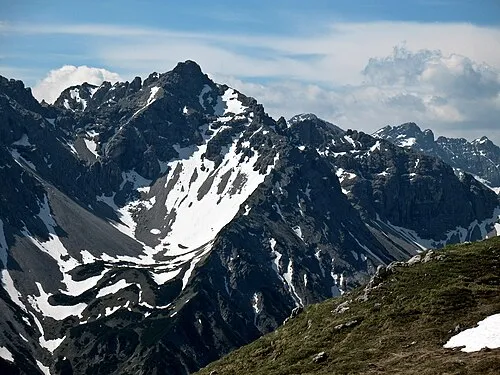 Großer Rosszahn Mountain, Weißenbach am Lech2.6 km W
-
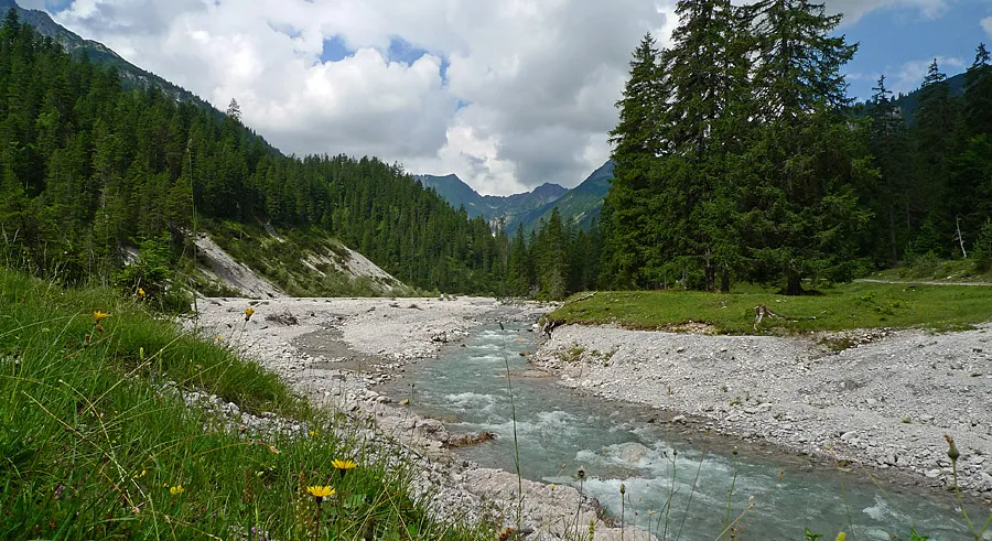 Schwarzwassertal Natural site, Tyrol2.8 km N
-
Rosskarspitzen Mountain, Vorderhornbach2 km SW
More nature in Austria
-
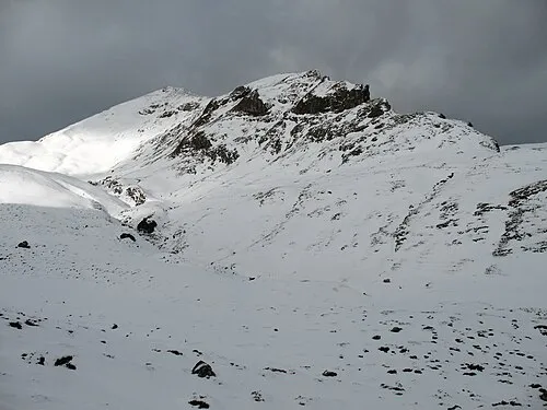 Rote Spitze Mountain, Weißenbach am Lech4.5 km N
-
Kleiner Rosszahn Mountain, Weißenbach am Lech2.1 km W
-
Saldeiner Spitze Mountain, Weißenbach am Lech2.4 km E
-
Kalbleggspitze Mountain, Weißenbach am Lech4.6 km N
-
Kastenkopf Mountain, Weißenbach am Lech4.7 km N
-
Kälbelespitze Mountain, Weißenbach am Lech4.7 km NW
Sources & licences
Data last updated: