Hochiss
Located in Eben am Achensee, Politischer Bezirk Schwaz Coordinates: 47°27′31″ N 11°45′53″ E
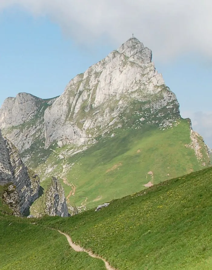
- Elevation
- 2,299 m
- above sea level
- Local time
- UTC+01:00
- Europe/Vienna · UTC+01:00
- Airports
- INN Innsbruck Airport39 km
- MUC Munich Airport100 km
About Hochiss
Hochiss is a mountain. Location: Eben am Achensee, Politischer Bezirk Schwaz. Elevation: 2,299 m.
Hochiss or Hochriss is a mountain in Tyrol, Austria. Rising some 2,299 metres (7,543 ft), it is the highest mountain of the Brandenberg Alps (otherwise known as Rofan) and is located near the tourist hot spot Achensee. Its steep north face is popular with rock climbers and its other slopes are a popular destination for hiking and paragliding as well as snowshoeing and ski touring in the winter.
Source: Wikipedia · CC BY-SA 4.0
At a glance
- Topographic prominence
- 1,359 m
Source: Wikidata
Photos of Hochiss
-

Wasquewhat · CC BY-SA 4.0 -

Ximeg · CC BY-SA 3.0 -

Jörg Braukmann · CC BY-SA 3.0 -

User:Mateus2019 · CC BY 3.0 de -

Maddl79 · CC BY-SA 4.0


Climate of Hochiss
This month · November
A cold month
Day -2° · Night -9° · Rain 86 mm
- Hottest month
- July (day 13°)
- Coldest month
- January (night -13°)
- Wettest month
- July (168 mm)
- Driest month
- February (60 mm)
Bars: average monthly low and high temperature. Below: precipitation. Monthly averages for 1970–2000 at about 18 km resolution, adjusted for elevation. Highlighted months are mild and relatively dry. Source: WorldClim 2.1 (CC BY 4.0).
Show values as a table
| Month | Jan | Feb | Mar | Apr | May | Jun | Jul | Aug | Sep | Oct | Nov | Dec |
|---|---|---|---|---|---|---|---|---|---|---|---|---|
| Average high (°C) | -6° | -4° | -1° | 2° | 8° | 10° | 13° | 13° | 9° | 4° | -2° | -5° |
| Average low (°C) | -13° | -12° | -9° | -6° | -2° | 1° | 3° | 3° | 0° | -4° | -9° | -11° |
| Precipitation (mm) | 62 | 60 | 79 | 89 | 114 | 155 | 168 | 152 | 104 | 80 | 86 | 74 |
How to get to Hochiss
The nearest airport is Innsbruck Airport (INN), 39 km to the southwest as the crow flies. The nearest large city is Innsbruck, 35 km to the southwest.
Airports
- Innsbruck Airport (INN) Innsbruck 39 kmsouthwest
- Munich Airport (MUC) Munich 100 kmnorth
- Salzburg Airport (SZG) Salzburg 100 kmeast
Nearby large cities
- Innsbruck Population: 132.5K 35 kmsouthwest
- Munich Population: 1.5M 77 kmnorth
- Salzburg Population: 157.2K 103 kmeast
- Augsburg Population: 301.1K 120 kmnorthwest
- Ingolstadt Population: 120.7K 147 kmnorth
Straight-line distances; road distances are longer. Airport data: OurAirports.
Day trips from Hochiss
Within 100 km: 385 historic and cultural sites, 4,360 natural sites, 1,197 lakes, rivers and coasts.
0–25 km405 places
- Zireiner See Lake 4 kmE
- Reinthalen See Lake 10 kmE
- Achen Lake Lake 4 kmW
- Delpsee Lake 20 kmW
25–60 km1,982 places
- Bayerisches Oberland Mountain 37 kmNW
- Schloss Hirschberg am Haarsee Historic site 57 kmNW
- Wildsee Lake 47 kmW
- Wild See Lake 54 kmS
60–100 km3,555 places
- Frauenchiemsee Island 68 kmNE
- Herreninsel Island 65 kmNE
- elf-pavlik's tent Historic site 81 kmN
- Sille River 91 kmSE
Straight-line distances.
Nearest towns and villages
-
Maurach Village, Eben am Achensee4.2 km S
-
 Pertisau Village, Eben am Achensee5.8 km W
-
Münster Municipality, Politischer Bezirk Kufstein4.8 km SE
-
Wiesing Municipality, Politischer Bezirk Schwaz6.5 km S
-
Buchau Village, Eben am Achensee3.7 km SW
-
Jenbach Municipality, Politischer Bezirk Schwaz7.3 km S
Nearby attractions & nature
Everything nearby-
Sonnwend Gebirge Mountain, Tyrol1.7 km NE
-
Rofanspitze Mountain, Münster2.1 km E
-
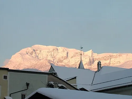 Vorderes Sonnwend Joch Mountain, Münster2.8 km E
-
Ebner Joch Mountain, Wiesing3.7 km S
-
Roßkogel Mountain, Münster4.8 km E
-
Zireiner See Lake, Tyrol4 km E
-
Gfaßköpfe Mountain, Steinberg am Rofan5.4 km N
-
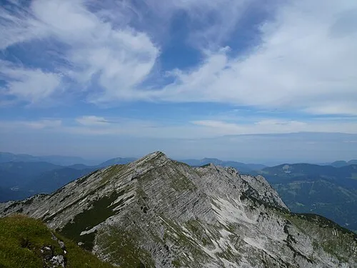 Hochunnutz Mountain, Achenkirch6.9 km N
More nature in Austria
-
Mondscheinspitze Mountain, Eben am Achensee11 km W
-
Seebergspitze Mountain, Eben am Achensee6.5 km W
-
Seekarspitze Mountain, Eben am Achensee6.6 km W
-
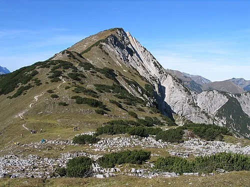 Kompar Mountain, Eben am Achensee14 km W
-
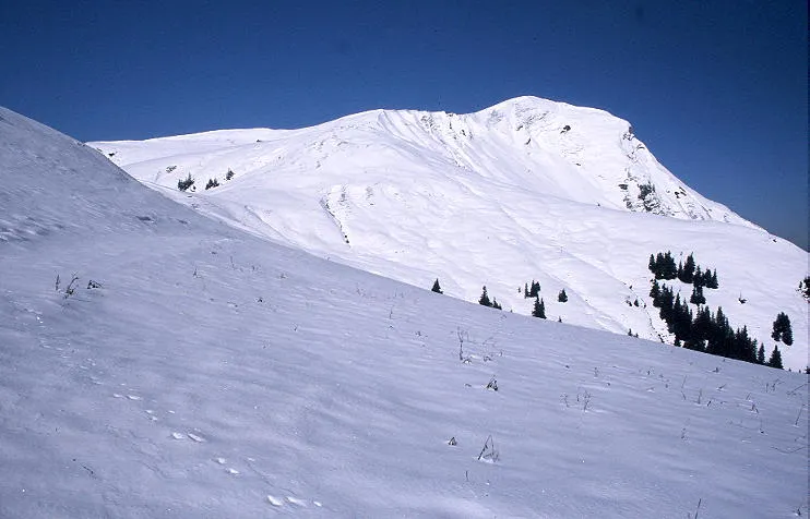 Juifen Mountain, Eben am Achensee14 km NW
-
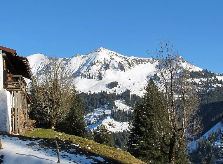 Rether Joch Mountain, Eben am Achensee12 km NW
Sources & licences
Data last updated: · 2 independent sources