Haupenhöhe
Located in Finkenberg, Politischer Bezirk Schwaz Coordinates: 47°00′00″ N 11°43′00″ E
- Elevation
- 2,783 m
- above sea level
- Local time
- UTC+01:00
- Europe/Vienna · UTC+01:00
- Airports
- INN Innsbruck Airport40 km
- BZO Bolzano Airport67 km
About Haupenhöhe
Haupenhöhe is a mountain. Location: Finkenberg, Politischer Bezirk Schwaz. Elevation: 2,783 m. The nearest airport is Innsbruck Airport (40 km). Nearby sights include Hochsteller and Grosser Hochsteller.
Photos of Haupenhöhe
-
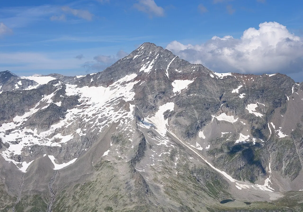
Schrammacher Carsten Steger · CC BY-SA 4.0 -
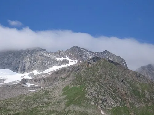
Schönbichler Horn Schlesinger · CC BY-SA 3.0 -
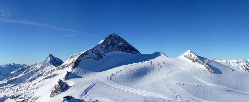
Olperer earnie81 · CC BY-SA 2.0 de -
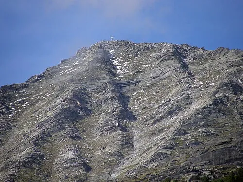
Grosser Ingent Axel Mauruszat · CC BY 3.0 de -
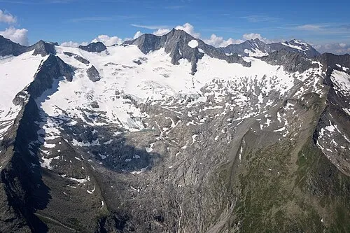
Großer Möseler Carsten Steger · CC BY-SA 4.0


Climate of Haupenhöhe
This month · November
A cold month
Day -4° · Night -10° · Rain 90 mm
- Hottest month
- July (day 9°)
- Coldest month
- February (night -13°)
- Wettest month
- July (145 mm)
- Driest month
- February (59 mm)
Bars: average monthly low and high temperature. Below: precipitation. Monthly averages for 1970–2000 at about 18 km resolution, adjusted for elevation. Highlighted months are mild and relatively dry. Source: WorldClim 2.1 (CC BY 4.0).
Show values as a table
| Month | Jan | Feb | Mar | Apr | May | Jun | Jul | Aug | Sep | Oct | Nov | Dec |
|---|---|---|---|---|---|---|---|---|---|---|---|---|
| Average high (°C) | -8° | -7° | -5° | -2° | 3° | 7° | 9° | 9° | 6° | 2° | -4° | -7° |
| Average low (°C) | -13° | -13° | -11° | -9° | -4° | -1° | 1° | 2° | -1° | -5° | -10° | -12° |
| Precipitation (mm) | 62 | 59 | 79 | 89 | 106 | 133 | 145 | 133 | 98 | 85 | 90 | 68 |
How to get to Haupenhöhe
The nearest airport is Innsbruck Airport (INN), 40 km to the northwest as the crow flies. The nearest large city is Innsbruck, 38 km to the northwest.
Airports
- Innsbruck Airport (INN) Innsbruck 40 kmnorthwest
- Bolzano Airport (BZO) Bolzano (BZ) 67 kmsouthwest
- Salzburg Airport (SZG) Salzburg 131 kmnortheast
Nearby large cities
- Innsbruck Population: 132.5K 38 kmnorthwest
- Munich Population: 1.5M 127 kmnorth
- Salzburg Population: 157.2K 134 kmnortheast
- Augsburg Population: 301.1K 164 kmnorth
- Ingolstadt Population: 120.7K 197 kmnorth
Straight-line distances; road distances are longer. Airport data: OurAirports.
Day trips from Haupenhöhe
Within 100 km: 156 historic and cultural sites, 4,421 natural sites, 855 lakes, rivers and coasts.
0–25 km332 places
- Wild See Lake 12 kmW
- Torseen Lake 19 kmN
- Obernberger See Lake 24 kmW
- Juns See Lake 16 kmNW
25–60 km1,357 places
- Sille River 60 kmSE
- Piz Gralba Mountain 54 kmS
- Piz Miara Mountain 53 kmS
- Wildsee Lake 54 kmNW
60–100 km3,743 places
- Bayerisches Oberland Mountain 77 kmN
- Schloss Hirschberg am Haarsee Historic site 98 kmN
- Dosso di Dentro Mountain 100 kmW
- Spi da Russenna Mountain 99 kmW
Straight-line distances.
Nearest towns and villages
-
Quinzo Village, Pfitsch8.1 km W
-
 San Giacomo Village, Pfitsch9.6 km W
-
Vals Municipality, Politischer Bezirk Innsbruck Land11 km W
-
 Lappago Village, Selva dei Molini/Mühlwald11 km SE
-
Fundres Village, Vintl12 km S
-
Lappago di Sopra Village, Selva dei Molini/Mühlwald10 km SE
Nearby attractions & nature
Everything nearby-
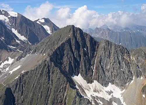 Hochsteller Mountain, Finkenberg0.5 km SW
-
Grosser Hochsteller Mountain, Finkenberg<0.1 km N
-
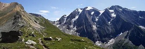 Griesscharte Mountain, Pfitsch1.3 km S
-
Haupentalerhöhe Mountain, Pfitsch0.8 km SW
-
Pfitschergrat Mountain, Finkenberg1.8 km SE
-
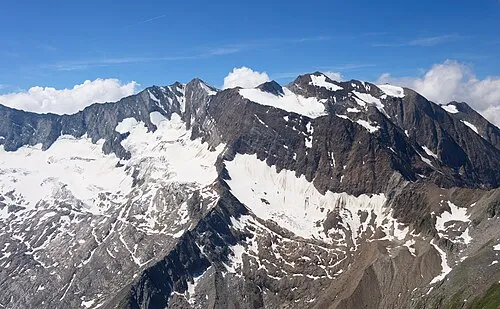 Hochferner Mountain, Pfitsch2.5 km S
-
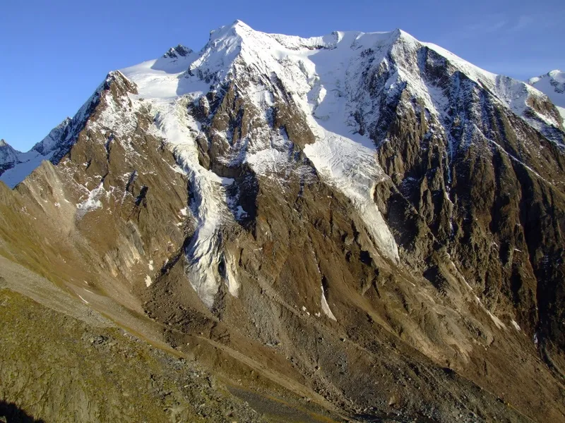 Hintere Weissspitze Mountain, Pfitsch2.7 km S
-
Furtschaglkopf Mountain, Finkenberg2.5 km E
More nature in Austria
-
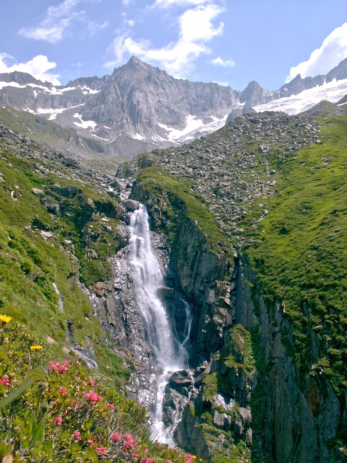 Furtschagel Spitze Mountain, Finkenberg4.4 km E
-
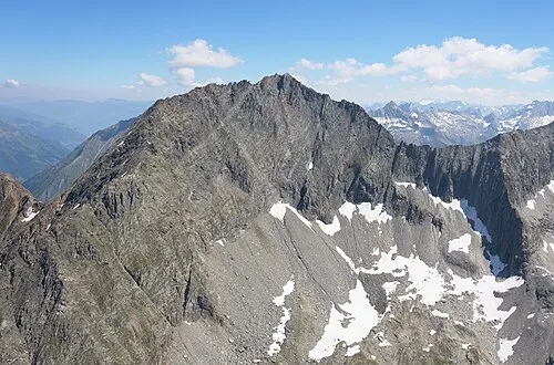 Grosser Greiner Mountain, Finkenberg3.6 km NE
-
Schönbichler Horn Mountain, Finkenberg5.4 km E
-
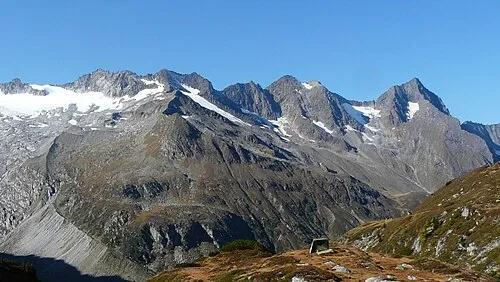 Talggenkopf Mountain, Finkenberg3.8 km NE
-
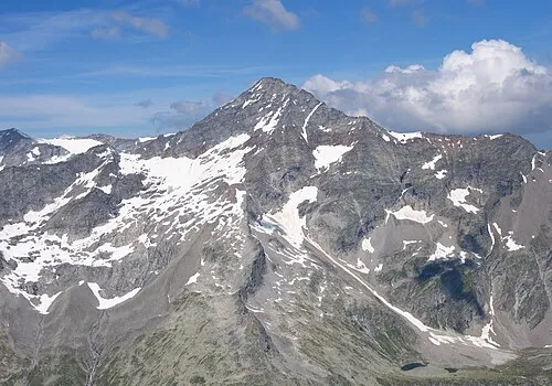 Schrammacher Mountain, Finkenberg6.4 km NW
-
Olperer Mountain, Finkenberg7.4 km NW
Sources & licences
Data last updated: · 2 independent sources