Steinfalk
Located in Vomp, Politischer Bezirk Schwaz Coordinates: 47°25′38″ N 11°30′44″ E
- Elevation
- 2,347 m
- above sea level
- Local time
- UTC+01:00
- Europe/Vienna · UTC+01:00
About Steinfalk
Steinfalk is a mountain. Location: Vomp, Politischer Bezirk Schwaz. Elevation: 2,347 m.
In comparison
- No. 1827 of 7537 mountains in Austria by elevation
- 70 sights and natural places within 10 km Steinspitze, Lalider Falk
Airports nearest to Steinfalk
- Innsbruck Airport (INN) Innsbruck 23 km
- Munich Airport (MUC) Munich 105 km
- Bolzano Airport (BZO) Bolzano (BZ) 109 km
Straight-line distance; airports with scheduled flights only. Source: OurAirports (public domain).
Nearest towns and villages
-
Eng Village, Vomp4.7 km SE
-
Eben am Achensee Municipality, Politischer Bezirk Schwaz9.1 km NE
-
Hinterriß Village, Vomp6 km NW
-
Gnadenwald Municipality, Politischer Bezirk Innsbruck Land12 km SE
-
Absam Municipality, Politischer Bezirk Innsbruck Land15 km S
-
Thaur Municipality, Politischer Bezirk Innsbruck Land14 km S
Nearby attractions & nature
Everything nearby-
Steinspitze Mountain, Vomp0.8 km NE
-
Lalider Falk Mountain, Vomp0.8 km NE
-
Hinterer Falk Mountain, Vomp0.8 km NE
-
Risser Falk Mountain, Vomp1.3 km N
-
Mahnkopf Mountain, Vomp1.7 km S
-
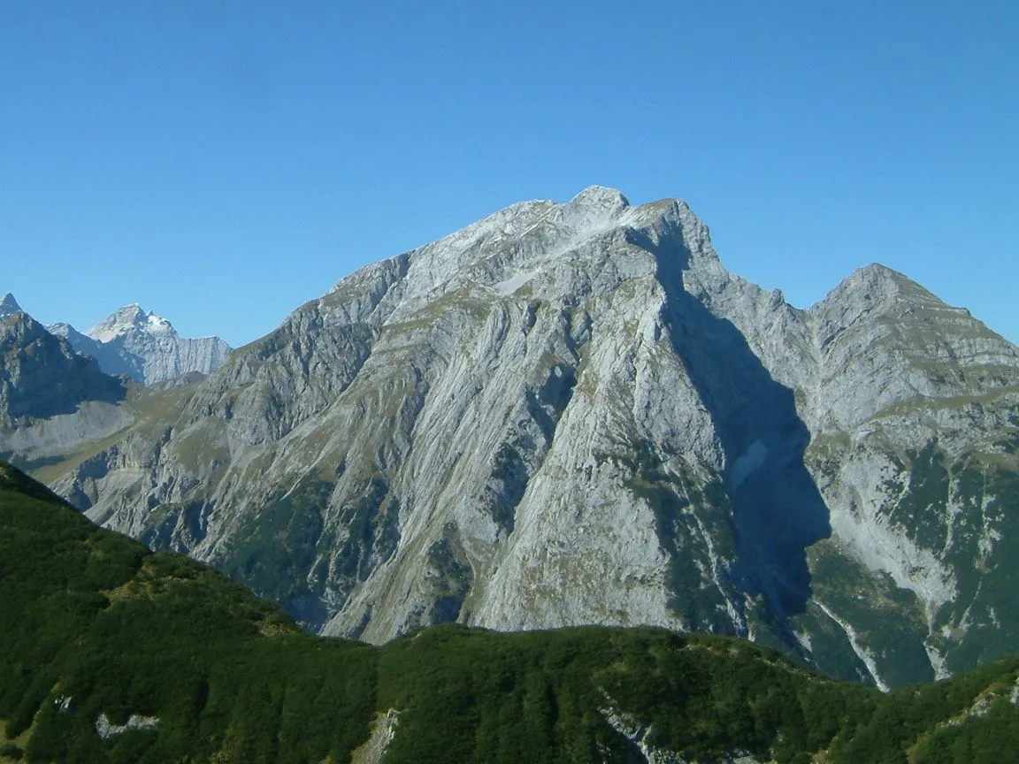 Gamsjoch Mountain, Vomp2.9 km E
-
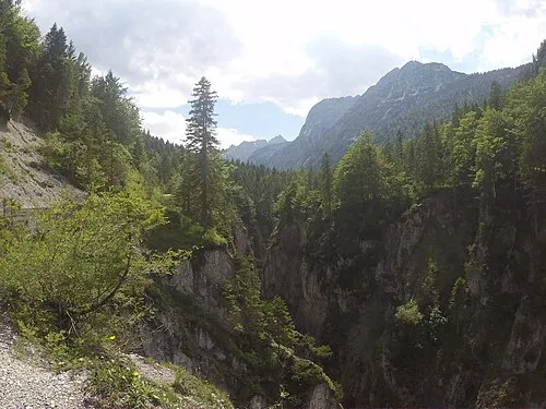 Johannestal Natural site, Tyrol3.3 km NW
-
Lalidertal Natural site, Tyrol2.9 km E
More nature in Austria
-
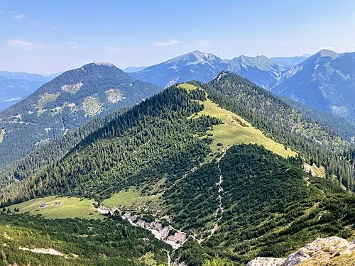 Ronberg Mountain, Vomp8.6 km NW
-
Ruederkarspitze Mountain, Vomp3.4 km E
-
Kuhkopf Mountain, Vomp4.3 km W
-
Lackenkarkopf Mountain, Vomp5.3 km W
-
Lamsen Spitze Mountain, Vomp8.2 km SE
-
Eiskarlspitze Mountain, Vomp5.7 km SE
Sources & licences
Data last updated: