Pregarten
Located in Freistadt District, Upper Austria Coordinates: 48°21′16″ N 14°31′57″ E
- Population
- 5,207
- 5.2K
- Elevation
- 421 m
- above sea level
- Local time
- UTC+01:00
- Europe/Vienna · UTC+01:00
- Places inside
- 20
- listed under Pregarten
About Pregarten
Pregarten is a municipality. Location: Freistadt District, Upper Austria. Population: 5,207. Elevation: 421 m.
In comparison
- No. 2 of 27 places in Freistadt District by population
- Nearest larger town: Engerwitzdorf, 7 km W
- 7 sights and natural places within 10 km Waldaist, Kettenbach
- Listed here: Village: 20
Places in Pregarten
20 places-
Pregarten Village2.8K
-
Grünbichl Village587
-
Silberbach Village453
-
Pregartsdorf Village386
-
Aist Village128
-
Selker Village115
-
Meitschenhof Village111
-
Kranzlgarten Village95
-
Halmenberg Village84
-
Kriechmayrdorf Village78
-
Netzberg Village78
-
Greisingberg Village76
-
Burbach Village74
-
Wörgersdorf Village65
-
Gmeinerhof Village57
-
Greising Village46
-
Reichenstein Village14
-
Krichmaierdorf Village
-
Neustadt Village
-
Wögersdorf Village
Nearby attractions & nature
Everything nearby-
Waldaist River, Upper Austria4.9 km SE
-
Kettenbach River, Upper Austria4.9 km SE
-
Feldaist River, Upper Austria4.9 km SE
-
Kleine Gusen River, Upper Austria5.4 km SW
-
Grosse Gusen River, Upper Austria5.4 km SW
-
Katznberg Mountain, Tragwein6.3 km E
-
Guttenbrunnerberg Mountain, Gutau6.3 km NE
-
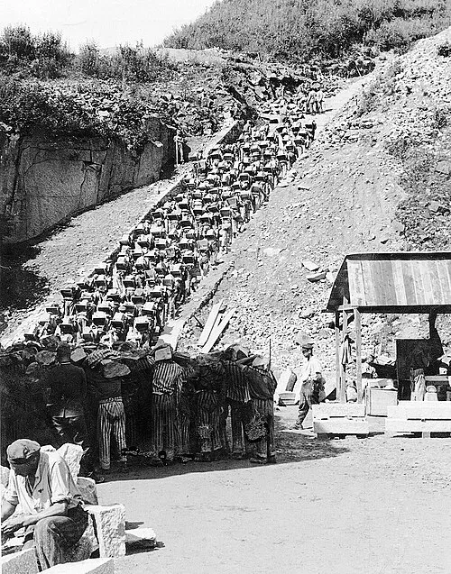 Mauthausen Concentration Camp Historic site, Mauthausen11 km S
Sources & licences
Data last updated: