Lungitz
Located in Katsdorf, Perg District Coordinates: 48°17′25″ N 14°28′49″ E
- Population
- 139
- 139
- Elevation
- 278 m
- above sea level
- Local time
- UTC+01:00
- Europe/Vienna · UTC+01:00
About Lungitz
Lungitz is a village. Location: Katsdorf, Perg District. Population: 139. Elevation: 278 m.
Lungitz is a village in the community of Katsdorf, Perg district of Upper Austria, Austria. During World War II it was the site of slave labour and the "Gusen III" sub-camp of the Gusen concentration camp later on. Although camp Gusen III was not opened earlier than December 1944, inmates of camp Gusen worked in a brick production plant at Lungitz already in 1940. In this early period, these inmates drove by truck every day from Gusen via St. Georgen to Lungitz.
Read more on Wikipedia Text: Wikipedia contributors · CC BY-SA 4.0 · shortened
In comparison
- No. 6 of 9 places in Katsdorf by population
- Nearest larger town: Standorf, 1 km NE
- 17 sights and natural places within 10 km Gusen I Concentration Camp, Mauthausen concentration camp
Nearby attractions & nature
Everything nearby-
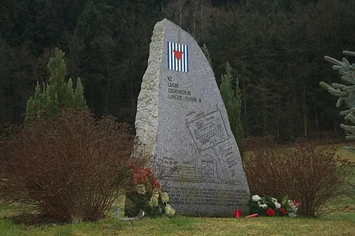 Gusen I Concentration Camp Historic site, Langenstein3.8 km S
-
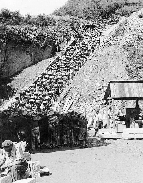 Mauthausen Concentration Camp Historic site, Mauthausen4 km SE
-
Mauthausen concentration camp Historic site, Mauthausen4 km SE
-
Ruine Spielberg Historic site, Langenstein4.6 km S
-
Hohenstein Mountain, Steyregg4.8 km W
-
Reichenbach River, Upper Austria4.4 km SW
Sources & licences
Data last updated: · 2 independent sources