Haid
Located in Mitterkirchen im Machland, Perg District Coordinates: 48°12′20″ N 14°41′29″ E
- Population
- 61
- 61
- Elevation
- 234 m
- above sea level
- Local time
- UTC+01:00
- Europe/Vienna · UTC+01:00
About Haid
Haid is a neighbourhood. Location: Mitterkirchen im Machland, Perg District. Population: 61.
In comparison
- No. 10 of 17 places in Mitterkirchen im Machland by population
- Nearest larger town: Hart, 1 km E
- 3 sights and natural places within 10 km Hochgatterer, Erlabach
Nearby attractions & nature
Everything nearby-
Erlabach River, Lower Austria5.6 km W
-
Hochgatterer Mountain, Arbing5.3 km N
-
Naarn River, Upper Austria9.6 km E
-
St. Valentin Concentration Camp Historic site, St. Valentin13 km W
-
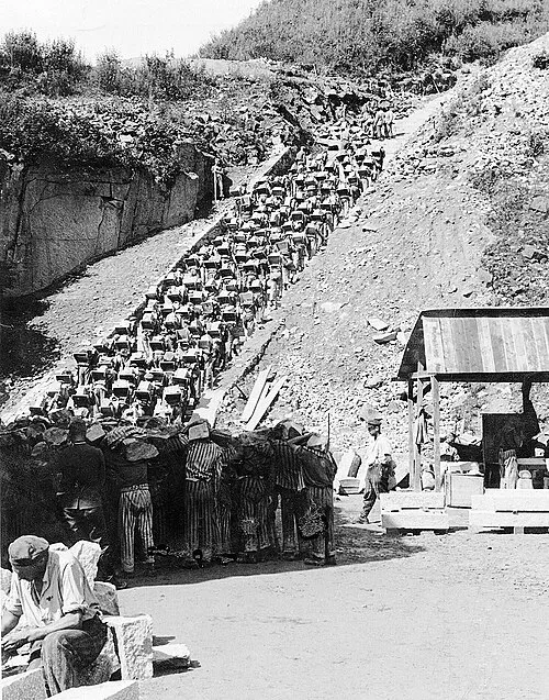 Mauthausen Concentration Camp Historic site, Mauthausen15 km W
-
Strudengau Natural site, Lower Austria17 km E
Sources & licences
Data last updated: