Hohe Schrott
Located in Bad Ischl, Politischer Bezirk Gmunden Coordinates: 47°43′00″ N 13°42′00″ E
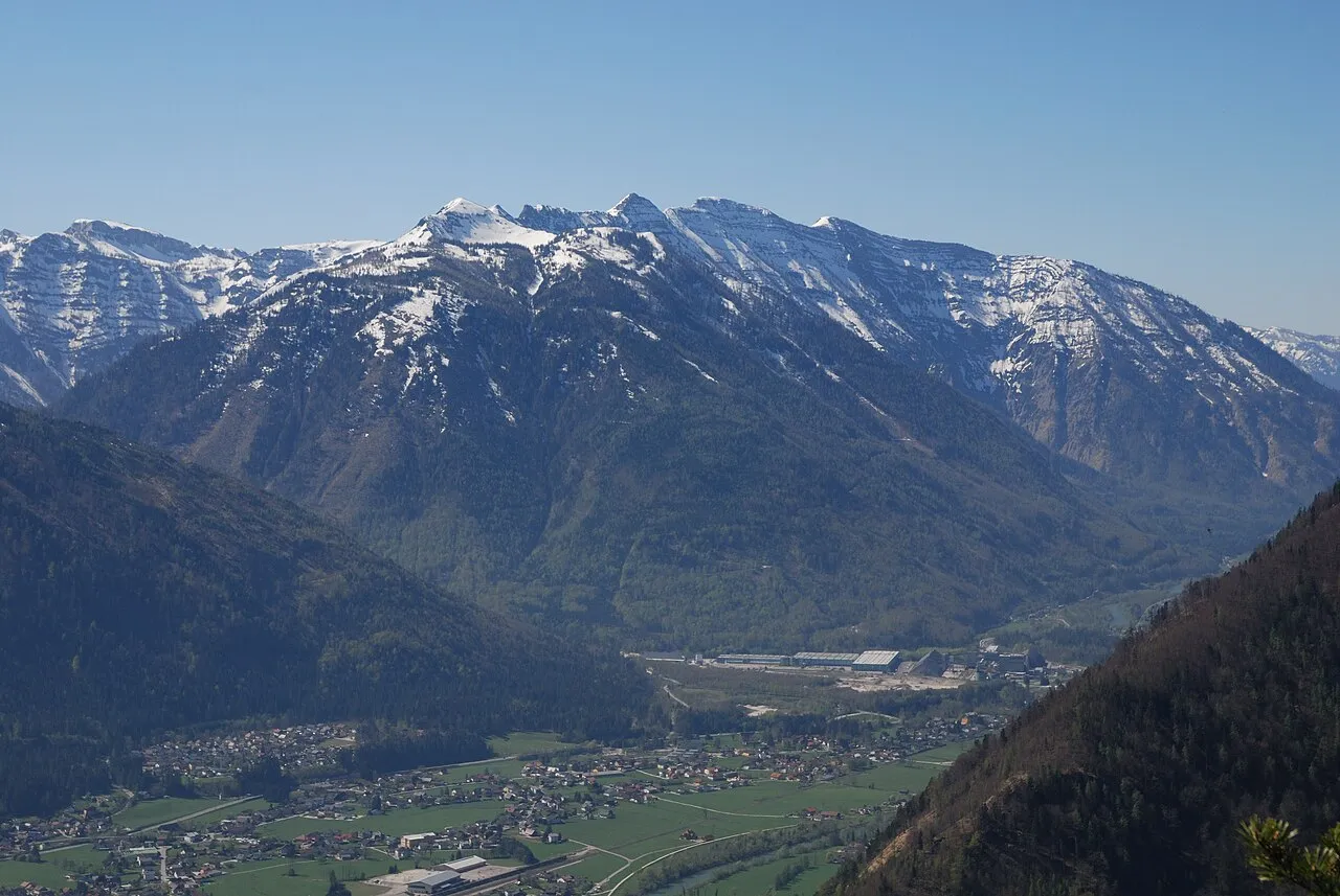
- Elevation
- 1,443 m
- above sea level
- Local time
- UTC+01:00
- Europe/Vienna · UTC+01:00
- Airports
- SZG Salzburg Airport53 km
- LNZ Linz-Hörsching Airport68 km
About Hohe Schrott
Hohe Schrott is a mountain. Location: Bad Ischl, Politischer Bezirk Gmunden. Elevation: 1,443 m. The nearest airport is Salzburg Airport (53 km). Nearby sights include Ramaikogel and Teuflingkogel.
Photos of Hohe Schrott
-

Tigerente · CC BY 4.0 -

Svíčková · CC BY 3.0 -

Michael Fruehmann magrolino · CC0 -

Tigerente · CC BY 4.0 -

mcboernie · CC BY 3.0


Climate of Hohe Schrott
This month · November
A wet month
Day 2° · Night -4° · Rain 107 mm
- Hottest month
- July (day 16°)
- Coldest month
- January (night -8°)
- Wettest month
- July (197 mm)
- Driest month
- February (83 mm)
Bars: average monthly low and high temperature. Below: precipitation. Monthly averages for 1970–2000 at about 18 km resolution, adjusted for elevation. Highlighted months are mild and relatively dry. Source: WorldClim 2.1 (CC BY 4.0).
Show values as a table
| Month | Jan | Feb | Mar | Apr | May | Jun | Jul | Aug | Sep | Oct | Nov | Dec |
|---|---|---|---|---|---|---|---|---|---|---|---|---|
| Average high (°C) | -2° | -1° | 2° | 6° | 11° | 14° | 16° | 16° | 13° | 8° | 2° | -1° |
| Average low (°C) | -8° | -8° | -5° | -2° | 2° | 5° | 7° | 7° | 4° | 0° | -4° | -7° |
| Precipitation (mm) | 93 | 83 | 113 | 109 | 125 | 175 | 197 | 165 | 126 | 96 | 107 | 115 |
How to get to Hohe Schrott
The nearest airport is Salzburg Airport (SZG), 53 km to the west as the crow flies. The nearest large city is Salzburg, 50 km to the west.
Airports
- Salzburg Airport (SZG) Salzburg 53 kmwest
- Linz-Hörsching Airport (LNZ) Linz 68 kmnortheast
- Klagenfurt Airport (KLU) Klagenfurt am Wörthersee 129 kmsouth
Nearby large cities
- Salzburg Population: 157.2K 50 kmwest
- Linz Population: 204.8K 79 kmnortheast
- Klagenfurt Population: 100.3K 130 kmsouth
- Graz Population: 303.3K 150 kmsoutheast
- Munich Population: 1.5M 166 kmwest
Straight-line distances; road distances are longer. Airport data: OurAirports.
Day trips from Hohe Schrott
Within 100 km: 302 historic and cultural sites, 3,188 natural sites, 1,076 lakes, rivers and coasts.
0–25 km519 places
- Augstsee Lake 8 kmSE
- Ostersee Lake 11 kmSE
- Sommersbergsee Lake 11 kmS
- Grüne Lacke Lake 23 kmSE
25–60 km1,612 places
- Hoher Dachstein Mountain 28 kmS
- Klamm Natural site 51 kmSE
- Seeriessee Lake 41 kmS
- Untersee Lake 41 kmS
60–100 km2,435 places
- Frauenchiemsee Island 97 kmW
- Herreninsel Island 99 kmW
- Gusen I Concentration Camp Historic site 83 kmNE
- Treffnersee Lake 67 kmE
Straight-line distances.
Nearest towns and villages
-
Rettenbach Village, Bad Ischl3.5 km NW
-
Kößlbach Village, Bad Ischl3.1 km NW
-
Mitterweißenbach Village, Bad Ischl4.2 km NW
-
Steinfeld Village, Bad Ischl5.1 km W
-
Roith Village, Bad Ischl4.7 km W
-
Reiterndorf Village, Bad Ischl5.5 km W
Nearby attractions & nature
Everything nearby-
Ramaikogel Mountain, Bad Ischl<0.1 km N
-
Teuflingkogel Mountain, Bad Ischl1.3 km W
-
Brunnkogel Mountain, Bad Ischl1.3 km S
-
Jaglingursprung Natural site, Upper Austria1.3 km E
-
Gschlachtwald Natural site, Upper Austria1.3 km W
-
Mittagkogel Mountain, Ebensee2.2 km NE
-
Rosenkogel Mountain, Bad Ischl2.2 km NW
-
Rotkogel Mountain, Bad Ischl2.5 km E
More nature in Austria
-
Tauern Mountain, Bad Ischl3.9 km S
-
Höherstein Mountain, Bad Ischl3.9 km S
-
Gstättenberg Mountain, Bad Ischl4.2 km NW
-
Brennetgupf Mountain, Bad Ischl4.2 km NW
-
 Hochjoch Mountain, Bad Ischl6.5 km W
-
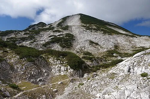 Großer Höllkogel Mountain, Bad Ischl9.2 km N
Sources & licences
Data last updated: · 2 independent sources