Leonsberg
Located in Bad Ischl, Politischer Bezirk Gmunden Coordinates: 47°45′16″ N 13°34′11″ E
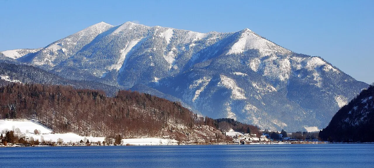
- Elevation
- 1,745 m
- above sea level
- Local time
- UTC+01:00
- Europe/Vienna · UTC+01:00
- Airports
- SZG Salzburg Airport43 km
- LNZ Linz-Hörsching Airport71 km
About Leonsberg
Leonsberg is a mountain. Location: Bad Ischl, Politischer Bezirk Gmunden. Elevation: 1,745 m. The nearest airport is Salzburg Airport (43 km). Nearby sights include Schwarzensee and Gartenzinken.
Photos of Leonsberg
-

Ray Swi-hymn from Sijhih-Taipei, Taiwan · CC BY-SA 2.0 -

Ray Swi-hymn from Sijhih-Taipei, Taiwan · CC BY-SA 2.0 -

Hermann Hammer · CC BY-SA 3.0 at -

Tigerente · CC BY-SA 4.0 -

Tigerente · CC BY-SA 4.0


Climate of Leonsberg
This month · November
A wet month
Day 0° · Night -7° · Rain 108 mm
- Hottest month
- July (day 15°)
- Coldest month
- January (night -11°)
- Wettest month
- July (198 mm)
- Driest month
- February (85 mm)
Bars: average monthly low and high temperature. Below: precipitation. Monthly averages for 1970–2000 at about 18 km resolution, adjusted for elevation. Highlighted months are mild and relatively dry. Source: WorldClim 2.1 (CC BY 4.0).
Show values as a table
| Month | Jan | Feb | Mar | Apr | May | Jun | Jul | Aug | Sep | Oct | Nov | Dec |
|---|---|---|---|---|---|---|---|---|---|---|---|---|
| Average high (°C) | -4° | -3° | 0° | 4° | 10° | 13° | 15° | 15° | 11° | 6° | 0° | -4° |
| Average low (°C) | -11° | -11° | -8° | -5° | 0° | 3° | 5° | 5° | 2° | -2° | -7° | -10° |
| Precipitation (mm) | 97 | 85 | 111 | 105 | 123 | 175 | 198 | 169 | 125 | 95 | 108 | 115 |
How to get to Leonsberg
The nearest airport is Salzburg Airport (SZG), 43 km to the west as the crow flies. The nearest large city is Salzburg, 40 km to the west.
Airports
- Salzburg Airport (SZG) Salzburg 43 kmwest
- Linz-Hörsching Airport (LNZ) Linz 71 kmnortheast
- Klagenfurt Airport (KLU) Klagenfurt am Wörthersee 137 kmsoutheast
Nearby large cities
- Salzburg Population: 157.2K 40 kmwest
- Linz Population: 204.8K 81 kmnortheast
- Klagenfurt Population: 100.3K 137 kmsoutheast
- Munich Population: 1.5M 155 kmwest
- Graz Population: 303.3K 161 kmsoutheast
Straight-line distances; road distances are longer. Airport data: OurAirports.
Day trips from Leonsberg
Within 100 km: 298 historic and cultural sites, 3,271 natural sites, 1,107 lakes, rivers and coasts.
0–25 km419 places
- Augstsee Lake 19 kmSE
- Ostersee Lake 21 kmSE
- Sommersbergsee Lake 20 kmSE
- Wilden See Lake 21 kmE
25–60 km1,682 places
- Hoher Dachstein Mountain 31 kmS
- Seeriessee Lake 47 kmS
- Untersee Lake 45 kmS
- Wildsee Lake 57 kmS
60–100 km2,575 places
- Frauenchiemsee Island 87 kmW
- Herreninsel Island 88 kmW
- Klamm Natural site 62 kmSE
- Gusen I Concentration Camp Historic site 87 kmNE
Straight-line distances.
Nearest towns and villages
Nearby attractions & nature
Everything nearby-
Schwarzensee Lake, Styria0.2 km SE
-
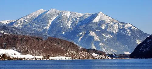 Gartenzinken Mountain, Sankt Wolfgang im Salzkammergut2.8 km SW
-
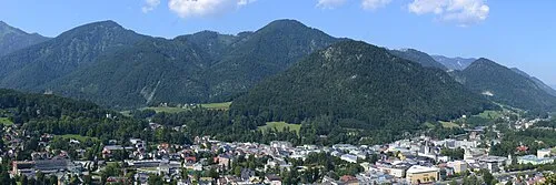 Gspranggupf Mountain, Bad Ischl3.3 km SE
-
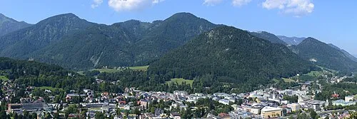 Hochjoch Mountain, Bad Ischl4.2 km SE
-
Niernstein Mountain, Bad Ischl3.3 km SE
-
Haleswiessee Lake, Sankt Wolfgang im Salzkammergut2.9 km NW
-
Breitenberg Mountain, Sankt Wolfgang im Salzkammergut4.2 km W
-
Schneeröselkogel Mountain, Bad Ischl4.2 km SE
More nature in Austria
-
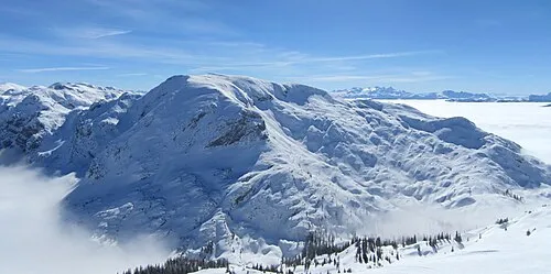 Grünalmkogel Mountain, Bad Ischl8.5 km NE
-
Hohe Rehstatt Mountain, Bad Ischl5.5 km NE
-
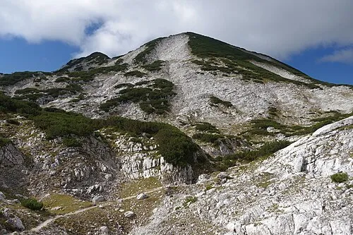 Großer Höllkogel Mountain, Bad Ischl9.4 km NE
-
Gstättenberg Mountain, Bad Ischl6.5 km E
-
Brennetgupf Mountain, Bad Ischl6.5 km E
-
Kalvarienberg Mountain, Bad Ischl4.8 km SE
Sources & licences
Data last updated: · 2 independent sources