Kleiner Gjaidstein
Located in Obertraun, Politischer Bezirk Gmunden Coordinates: 47°28′52″ N 13°37′45″ E
- Elevation
- 2,535 m
- above sea level
- Local time
- UTC+01:00
- Europe/Vienna · UTC+01:00
- Airports
- SZG Salzburg Airport58 km
- LNZ Linz-Hörsching Airport94 km
About Kleiner Gjaidstein
Kleiner Gjaidstein is a mountain. Location: Obertraun, Politischer Bezirk Gmunden. Elevation: 2,535 m. The nearest airport is Salzburg Airport (58 km). Nearby sights include Hoher Dachstein and Hoher Gjaidstein.
Photos of Kleiner Gjaidstein
-
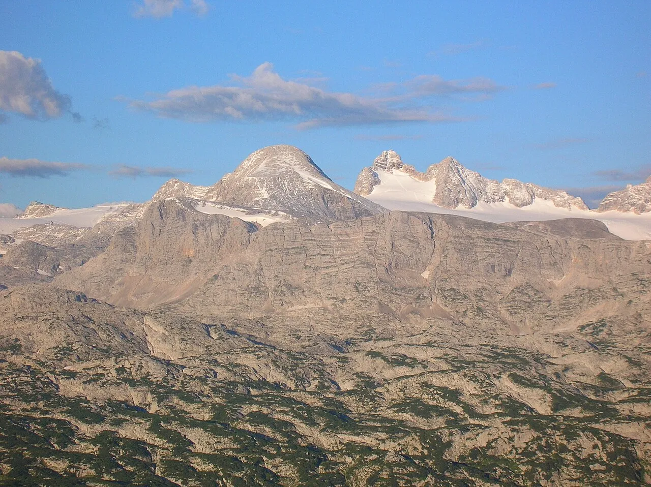
Niederer Gjaidstein T. Lessiak · Public domain -
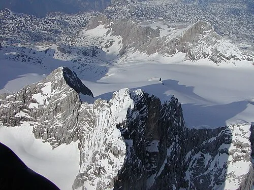
Niederer Dachstein Ralph Deleja-Hotko = de:Benutzer:Aerotiker · CC BY-SA 3.0 de -
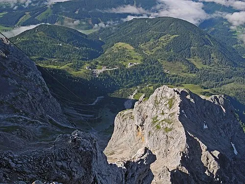
Scheiblingstein SchiDD · CC BY-SA 4.0 -
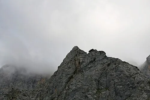
Mitterstein Robert Kropf · CC BY-SA 4.0 -
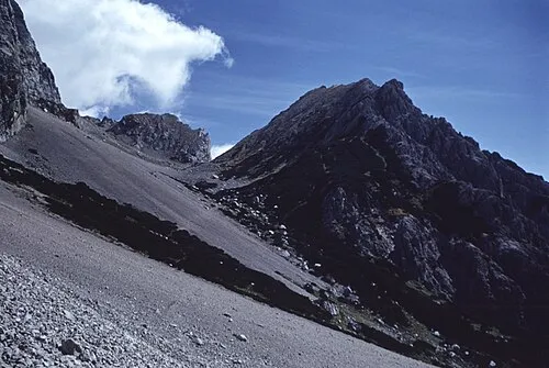
Tor Walter Kropf · CC BY-SA 4.0


Climate of Kleiner Gjaidstein
This month · November
A wet month
Day -4° · Night -11° · Rain 108 mm
- Hottest month
- July (day 9°)
- Coldest month
- January (night -15°)
- Wettest month
- July (195 mm)
- Driest month
- February (76 mm)
Bars: average monthly low and high temperature. Below: precipitation. Monthly averages for 1970–2000 at about 18 km resolution, adjusted for elevation. Highlighted months are mild and relatively dry. Source: WorldClim 2.1 (CC BY 4.0).
Show values as a table
| Month | Jan | Feb | Mar | Apr | May | Jun | Jul | Aug | Sep | Oct | Nov | Dec |
|---|---|---|---|---|---|---|---|---|---|---|---|---|
| Average high (°C) | -8° | -7° | -5° | -1° | 4° | 7° | 9° | 9° | 6° | 2° | -4° | -7° |
| Average low (°C) | -15° | -15° | -12° | -9° | -5° | -2° | 0° | 0° | -3° | -6° | -11° | -14° |
| Precipitation (mm) | 84 | 76 | 102 | 108 | 128 | 178 | 195 | 170 | 132 | 104 | 108 | 105 |
How to get to Kleiner Gjaidstein
The nearest airport is Salzburg Airport (SZG), 58 km to the northwest as the crow flies. The nearest large city is Salzburg, 56 km to the northwest.
Airports
- Salzburg Airport (SZG) Salzburg 58 kmnorthwest
- Linz-Hörsching Airport (LNZ) Linz 94 kmnortheast
- Klagenfurt Airport (KLU) Klagenfurt am Wörthersee 108 kmsoutheast
Nearby large cities
- Salzburg Population: 157.2K 56 kmnorthwest
- Linz Population: 204.8K 104 kmnortheast
- Klagenfurt Population: 100.3K 108 kmsoutheast
- Graz Population: 303.3K 145 kmeast
- Munich Population: 1.5M 170 kmnorthwest
Straight-line distances; road distances are longer. Airport data: OurAirports.
Day trips from Kleiner Gjaidstein
Within 100 km: 310 historic and cultural sites, 3,686 natural sites, 1,188 lakes, rivers and coasts.
0–25 km675 places
- Hoher Dachstein Mountain 2 kmW
- Seeriessee Lake 17 kmSE
- Untersee Lake 15 kmS
- Augstsee Lake 24 kmNE
25–60 km1,773 places
- Klamm Natural site 52 kmE
- Wildsee Lake 26 kmS
- Glohbuckensee Lake 56 kmE
- Gemeinsee Lake 58 kmE
60–100 km2,736 places
- Fürlegsee Lake 86 kmSW
- Vorderer Langtalsee Lake 83 kmSW
- Wildsee Lake 88 kmSE
- Treffnersee Lake 70 kmE
Straight-line distances.
Nearest towns and villages
-
Gemeinde Ramsau am Dachstein Municipality, Liezen District7.3 km S
-
Ramsau am Dachstein Village, Gemeinde Ramsau am Dachstein6.9 km S
-
Filzmoos Municipality, St. Johann im Pongau District9.1 km W
-
Lahn Neighbourhood, Hallstatt8.2 km N
-
Schladming Municipality, Liezen District10 km S
-
Obertraun Village, Obertraun9.5 km NE
Nearby attractions & nature
Everything nearby-
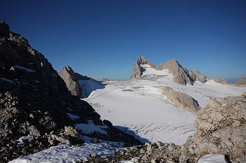 Hoher Dachstein Mountain, Politischer Bezirk Gmunden1.9 km W
-
Hoher Gjaidstein Mountain, Hallstatt0.2 km NE
-
Oberer Eisstein Mountain, Obertraun0.9 km W
-
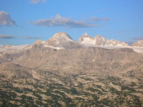 Niederer Gjaidstein Mountain, Obertraun1.6 km E
-
Unterer Eisstein Mountain, Hallstatt1 km W
-
Südliches Dirndl Mountain, Hallstatt1 km W
-
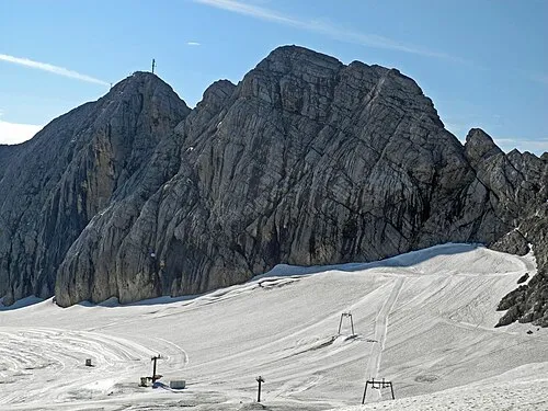 Kleiner Koppenkarstein Mountain, Obertraun1.6 km S
-
Schneeberg Mountain, Obertraun1.6 km E
More nature in Austria
-
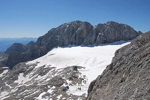 Großer Koppenkarstein Mountain, Obertraun2.3 km SE
-
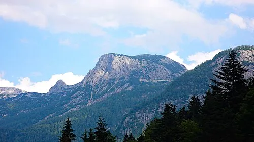 Hoher Krippenstein Mountain, Obertraun5.7 km NE
-
Mitterstein Mountain, Obertraun1.6 km E
-
Hunerkogel Mountain, Obertraun1.6 km S
-
Vorderer Gjaidstein Mountain, Obertraun2.6 km NE
-
Landfriedstein Mountain, Obertraun3.3 km SE
Sources & licences
Data last updated: