Buchet
Located in Geboltskirchen, Politischer Bezirk Grieskirchen Coordinates: 48°09′45″ N 13°37′40″ E
- Population
- 10
- 10
- Elevation
- 578 m
- above sea level
- Local time
- UTC+01:00
- Europe/Vienna · UTC+01:00
About Buchet
Buchet is a village. Location: Geboltskirchen, Politischer Bezirk Grieskirchen. Population: 10. Elevation: 578 m.
In comparison
- No. 27 of 28 places in Geboltskirchen by population
- Nearest larger town: Bergham, 0 km SW
- 4 sights and natural places within 10 km Turmberg, Urhammer Berg
Nearby attractions & nature
Everything nearby-
Turmberg Mountain, Haag am Hausruck1.6 km SW
-
Urhammer Berg Mountain, Ottnang am Hausruck6.1 km SW
-
Hausruck Mountain, Upper Austria6.1 km SW
-
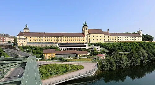 Lambach Abbey Attraction, Lambach20 km SE
-
Göblberg Mountain, Ampflwang im Hausruckwald9.9 km SW
-
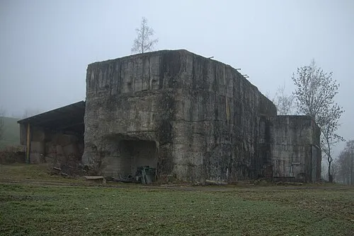 Redl Zipf Concentration Camp (Schlier) Historic site, Neukirchen an der Vöckla17 km SW
Sources & licences
Data last updated: