Michaelnbach
Located in Politischer Bezirk Grieskirchen, Upper Austria Coordinates: 48°17′15″ N 13°49′54″ E
- Population
- 1,269
- 1.3K
- Elevation
- 392 m
- above sea level
- Local time
- UTC+01:00
- Europe/Vienna · UTC+01:00
- Places inside
- 28
- listed under Michaelnbach
About Michaelnbach
Michaelnbach is a municipality. Location: Politischer Bezirk Grieskirchen, Upper Austria. Population: 1,269. Elevation: 392 m.
In comparison
- No. 23 of 33 places in Politischer Bezirk Grieskirchen by population
- Nearest larger town: Waizenkirchen, 5 km N
- 5 sights and natural places within 10 km Faule Aschach, Dürre Aschach
- Listed here: Village: 28
Places in Michaelnbach
28 places-
Michaelnbach Village383
-
Haus Village72
-
Minithal Village64
-
Schölmlahn Village64
-
Haid Village63
-
Zelli Village45
-
Kiesenberg Village37
-
Unterreitbach Village36
-
Mairdoppl Village31
-
Seiblberg Village28
-
Schmidgraben Village26
-
Reichenau Village24
-
Schickenedt Village24
-
Krumbach Village22
-
Armau Village20
-
Hilpetsberg Village20
-
Stockedt Village20
-
Aichet bei Grub Village19
-
Gaisedt Village18
-
Oberfurth Village15
-
Oberreitbach Village15
-
Weiking Village15
-
Pollesbach Village9
-
Brunnenweg Village
-
Moospolling Village
-
Niederspaching Village
-
Pulsam Village
-
Willersdorf Village
Nearby attractions & nature
Everything nearby-
Faule Aschach River, Upper Austria4 km NW
-
Dürre Aschach River, Upper Austria4 km NW
-
Feichtenberg Mountain, Peuerbach6.2 km NW
-
Leithen Bach River, Upper Austria7.4 km N
-
Leitenbach River, Upper Austria7.4 km N
-
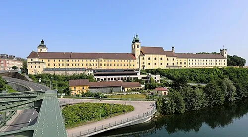 Lambach Abbey Attraction, Lambach22 km S
-
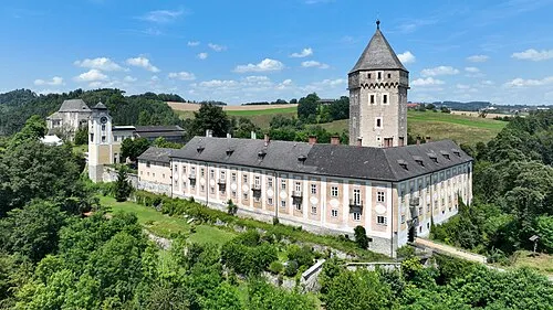 Schloss Neuhaus Historic site, Sankt Martin im Mühlkreis19 km NE
-
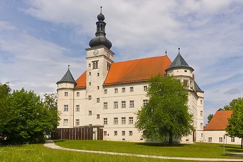 Hartheim Euthanasia Centre Historic site, Alkoven21 km E
Sources & licences
Data last updated: