Steegen
Located in Politischer Bezirk Grieskirchen, Upper Austria Coordinates: 48°20′20″ N 13°45′48″ E
- Population
- 1,042
- 1K
- Elevation
- 378 m
- above sea level
- Local time
- UTC+01:00
- Europe/Vienna · UTC+01:00
- Places inside
- 24
- listed under Steegen
About Steegen
Steegen is a municipality. Location: Politischer Bezirk Grieskirchen, Upper Austria. Population: 1,042. Elevation: 378 m.
In comparison
- No. 25 of 33 places in Politischer Bezirk Grieskirchen by population
- Nearest larger town: Peuerbach, 1 km NE
- 6 sights and natural places within 10 km Feichtenberg, Faule Aschach
- Listed here: Village: 24
Places in Steegen
24 places-
Kirchenfeld Village137
-
Steinbruck Village126
-
Steegen Village124
-
Langenpeuerbach Village73
-
Obererleinsbach Village63
-
Enzing Village47
-
Untererleinsbach Village46
-
Asing Village41
-
Weireth Village39
-
Unterbubenberg Village31
-
Parz am Öhlstampf Village25
-
Untwüsten Village20
-
Vest Village20
-
Urleinsberg Village19
-
Stieglhof Village18
-
Griesbach Village15
-
Rittberg Village14
-
Windprechting Village14
-
Unterndobl Village12
-
Krottenthal Village11
-
Sallet Village6
-
Ort an der Strass Village
-
Ranna Village
-
Untertreßleinsbach Village
Nearby attractions & nature
Everything nearby-
Feichtenberg Mountain, Peuerbach1.6 km SE
-
Faule Aschach River, Upper Austria3.7 km SE
-
Dürre Aschach River, Upper Austria3.7 km SE
-
Steinberg Mountain, Zell an der Pram7.6 km W
-
Leithen Bach River, Upper Austria7.7 km E
-
Leitenbach River, Upper Austria7.7 km E
-
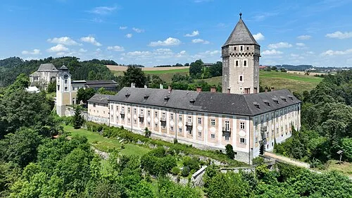 Schloss Neuhaus Historic site, Sankt Martin im Mühlkreis20 km NE
-
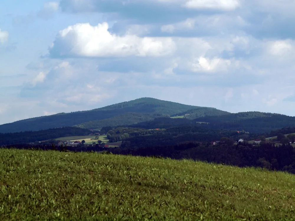 Haugstein Mountain, Vichtenstein20 km N
Sources & licences
Data last updated: