Wendling
Located in Politischer Bezirk Grieskirchen, Upper Austria Coordinates: 48°13′54″ N 13°39′57″ E
- Population
- 830
- 830
- Elevation
- 409 m
- above sea level
- Local time
- UTC+01:00
- Europe/Vienna · UTC+01:00
- Places inside
- 18
- listed under Wendling
About Wendling
Wendling is a municipality. Location: Politischer Bezirk Grieskirchen, Upper Austria. Population: 830. Elevation: 409 m.
In comparison
- No. 30 of 33 places in Politischer Bezirk Grieskirchen by population
- Nearest larger town: Rottenbach, 3 km S
- 3 sights and natural places within 10 km Reschfeld, Steinberg
- Listed here: Village: 18
Places in Wendling
18 places-
Wendling Village372
-
Penesedt Village42
-
Kubing Village41
-
Zupfing Village41
-
Oberhof Village39
-
Weeg Village34
-
Oberhöglham Village32
-
Eck Village31
-
Unterhöglham Village25
-
Weberndorf Village22
-
Fellhof Village18
-
Perndorf Village17
-
Märzendorf Village16
-
Gugenedt Village14
-
Dötzledt Village12
-
Lehen Village11
-
Gassen Village8
-
Untereck Village
Nearby attractions & nature
Everything nearby-
Reschfeld Mountain, Taiskirchen im Innkreis7.6 km W
-
Steinberg Mountain, Zell an der Pram9.5 km N
-
Turmberg Mountain, Haag am Hausruck9.8 km S
-
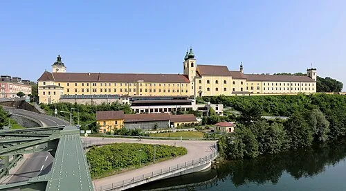 Lambach Abbey Attraction, Lambach22 km SE
-
Stelzer Berg Mountain, Andrichsfurt12 km W
-
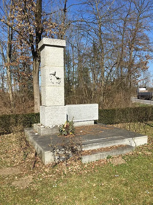 Gunskirchen Concentration Camp (Wels I) Historic site, Gunskirchen24 km SE
-
Sankt Veit Attraction, Meggenhofen13 km SE
-
Urhammer Berg Mountain, Ottnang am Hausruck14 km SW
Sources & licences
Data last updated: