Vorderstoder
Located in Politischer Bezirk Kirchdorf an der Krems, Upper Austria Coordinates: 47°42′49″ N 14°13′39″ E
- Population
- 817
- 817
- Elevation
- 809 m
- above sea level
- Local time
- UTC+01:00
- Europe/Vienna · UTC+01:00
- Places inside
- 18
- listed under Vorderstoder
About Vorderstoder
Vorderstoder is a municipality. Location: Politischer Bezirk Kirchdorf an der Krems, Upper Austria. Population: 817. Elevation: 809 m.
In comparison
- No. 19 of 23 places in Politischer Bezirk Kirchdorf an der Krems by population
- Nearest larger town: Rossleithen, 4 km E
- 109 sights and natural places within 10 km Hammerlgraben, Zamsegg
- Listed here: Mountain: 9, Village: 9
Places in Vorderstoder
18 places-
Vorderstoder Village403
-
Vordertambergau Village256
-
Fröhlichsiedlung Village
-
Gaisriegl Village
-
Hochleiten Village
-
Hutberg Mountain
-
Huttererseite Village
-
Klammberg Mountain
-
Kupferspitze Mountain
-
Lagels Berg Mountain
-
Mitterkrotzen Village
-
Ramsebn Village
-
Schallerkogel Mountain
-
Schmeißerkogel Mountain
-
Sonnleiten Village
-
Tamberg Mountain
-
Walchegg Mountain
-
Zamsegg Mountain
Nearby attractions & nature
Everything nearby-
Hammerlgraben Natural site, Upper Austria0.7 km SE
-
Schafferteich Lake, Upper Austria1.9 km S
-
Steyrsberg Mountain, Hinterstoder3.3 km W
-
Eselsbach River, Upper Austria2.4 km W
-
Luckenbauerbach River, Upper Austria2.7 km SW
-
Sulzbach River, Upper Austria3 km E
-
Retschitz River, Upper Austria3 km E
-
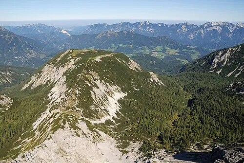 Loigistal Natural site, Upper Austria4 km W
Sources & licences
Data last updated: