Ranseredt
Located in Eggerding, Politischer Bezirk Schärding Coordinates: 48°22′22″ N 13°31′08″ E
- Population
- 125
- 125
- Elevation
- 364 m
- above sea level
- Local time
- UTC+01:00
- Europe/Vienna · UTC+01:00
About Ranseredt
Ranseredt is a village. Location: Eggerding, Politischer Bezirk Schärding. Population: 125. Elevation: 364 m.
In comparison
- No. 6 of 9 places in Eggerding by population
- Nearest larger town: Hof, 1 km SW
- 6 sights and natural places within 10 km Mössen Bach, Hoher Schachen
Nearby attractions & nature
Everything nearby-
Hoher Schachen Mountain, Eggerding5.1 km SW
-
Mössen Bach River, Upper Austria3.6 km E
-
Rain Bach River, Upper Austria5.4 km NE
-
Pfuda Bach River, Upper Austria5.4 km NE
-
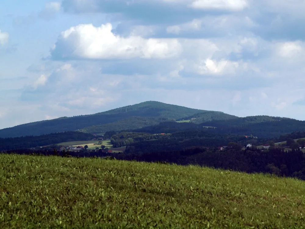 Haugstein Mountain, Vichtenstein19 km NE
-
Antiesen River, Upper Austria8.8 km W
Sources & licences
Data last updated: