Enzenkirchen
Located in Politischer Bezirk Schärding, Upper Austria Coordinates: 48°23′16″ N 13°38′56″ E
- Population
- 1,786
- 1.8K
- Elevation
- 370 m
- above sea level
- Local time
- UTC+01:00
- Europe/Vienna · UTC+01:00
- Places inside
- 23
- listed under Enzenkirchen
About Enzenkirchen
Enzenkirchen is a municipality. Location: Politischer Bezirk Schärding, Upper Austria. Population: 1,786. Elevation: 370 m.
In comparison
- No. 14 of 30 places in Politischer Bezirk Schärding by population
- Nearest larger town: Raab, 4 km S
- 7 sights and natural places within 10 km Mössen Bach, Rain Bach
- Listed here: Village: 23
Places in Enzenkirchen
23 places-
Enzenkirchen Village674
-
Jagern Village155
-
Mühlwitraun Village141
-
Matzing Village89
-
Ratzenbach Village73
-
Ruprechtsberg Village59
-
Kenading Village55
-
Goldberg Village44
-
Kriegen Village44
-
Ungernberg Village41
-
Schwarzenberg Village36
-
Bimmersdorf Village34
-
Oberleiten Village16
-
Oberhaigen Village8
-
Adlberg Village
-
Gaisbuchen Village
-
Götting Village
-
Gschaid Village
-
Landertsberg Village
-
Oberheitzing Village
-
Putzing Village
-
Strasswitraun Village
-
Weidling Village
Nearby attractions & nature
Everything nearby-
Schefberg Mountain, Kopfing im Innkreis8.8 km N
-
Mössen Bach River, Upper Austria6.5 km W
-
Steinberg Mountain, Zell an der Pram8 km S
-
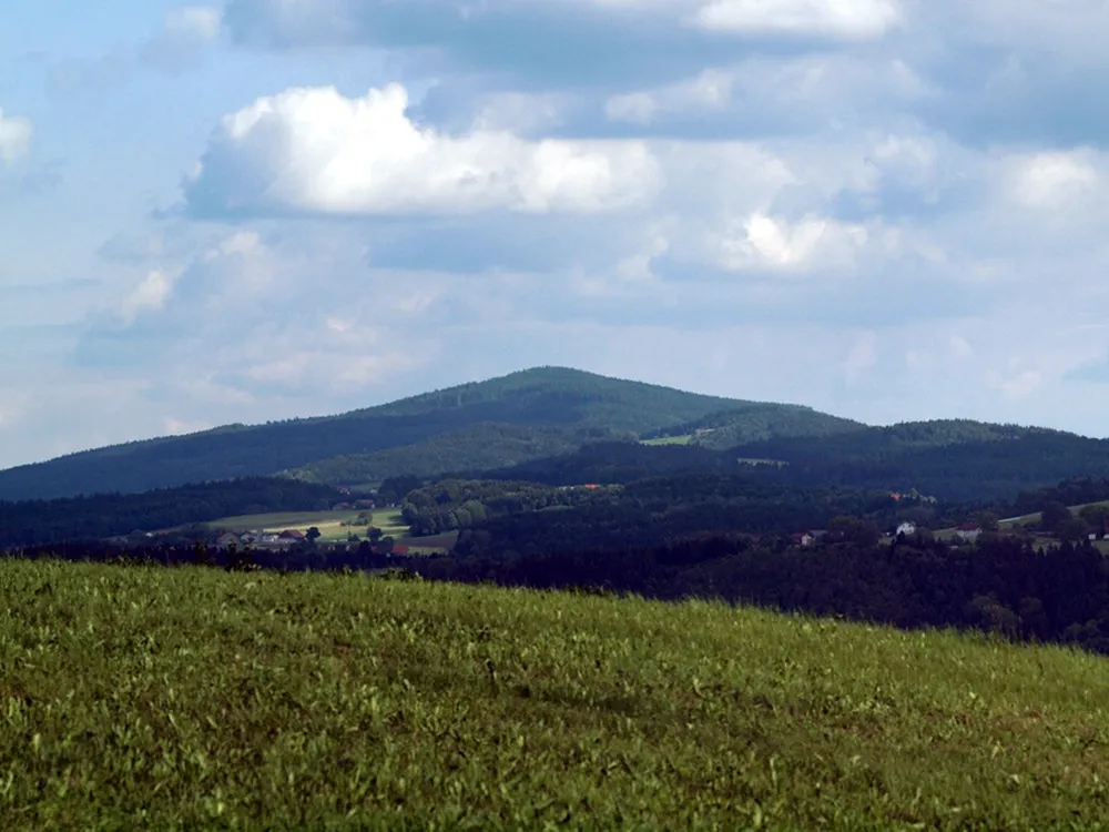 Haugstein Mountain, Vichtenstein14 km N
-
Kohlberg Mountain, Kopfing im Innkreis9.1 km N
-
Rain Bach River, Upper Austria8 km NW
-
Pfuda Bach River, Upper Austria8 km NW
-
Sauwald Natural site, Upper Austria8.9 km N
Sources & licences
Data last updated: