Hochbühel
Located in Aigen-Schlägl, Rohrbach district Coordinates: 48°38′00″ N 13°56′00″ E
- Elevation
- 790 m
- above sea level
- Local time
- UTC+01:00
- Europe/Vienna · UTC+01:00
About Hochbühel
Hochbühel is a mountain. Location: Aigen-Schlägl, Rohrbach district. Elevation: 790 m.
In comparison
- No. 6046 of 7537 mountains in Austria by elevation
- 11 sights and natural places within 10 km Bärenstein, Michelbach
Nearest towns and villages
-
Breitenstein Village, Aigen-Schlägl1 km NE
-
Schlägl Village, Aigen-Schlägl2.4 km E
-
Oberneudorf Village, Oepping0.9 km S
-
Aigen im Mühlkreis Village, Aigen-Schlägl3.1 km NE
-
Kirchbach Village, Peilstein im Mühlviertel1.6 km W
-
Kerschbaum Village, Aigen-Schlägl1.9 km NE
Nearby attractions & nature
Everything nearby-
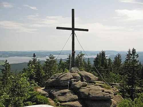 Bärenstein Mountain, Ulrichsberg6.7 km NE
-
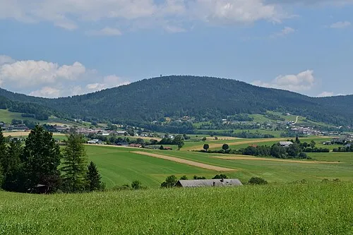 Sulzberg Mountain, Ulrichsberg8 km N
-
Spielberg Mountain, Nebelberg7.7 km W
-
Ameisberg Mountain, Atzesberg11 km SW
-
Schiffler Wald Natural site, Upper Austria8.4 km W
-
Kozí stráň [Černá v Pošumaví-Kyselov] Mountain, Aigen-Schlägl9.2 km NE
-
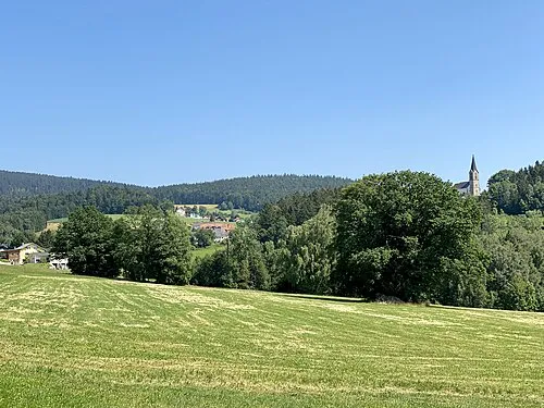 Dachsberg Mountain, Schwarzenberg am Böhmerwald13 km NW
-
Michelbach River, Austria7.4 km SE
Sources & licences
Data last updated: