Sengsengebirge
Located in Upper Austria, Austria Coordinates: 47°47′00″ N 14°15′00″ E
- Elevation
- 1,346 m
- above sea level
- Local time
- UTC+01:00
- Europe/Vienna · UTC+01:00
About Sengsengebirge
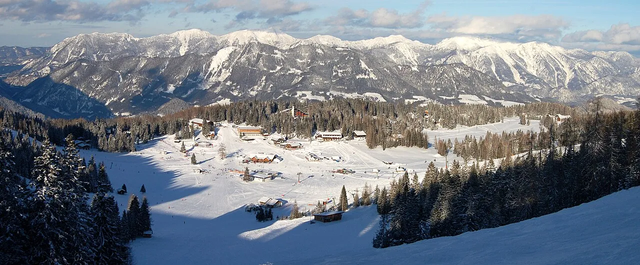
Sengsengebirge is a mountain. Location: Upper Austria, Austria. Elevation: 1,346 m.
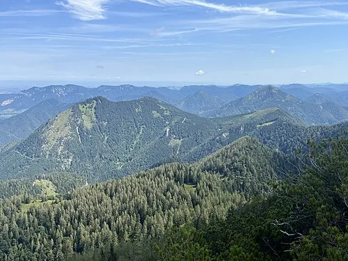
The Sengsengebirge mountains are a folded mountain range in the Upper Austrian Pre-Alps and is part of the Northern Limestone Alps. The heavily karstified mountain range consists mainly of Wetterstein limestone, drains mostly underground and is criss-crossed by several large caves, including the Klarahöhle with a length of over 31 kilometers. The highest elevation is the Hohe Nock at 1,963 m (AA).
Read more on Wikipedia Text: Wikipedia contributors · CC BY-SA 4.0 · shortened
In comparison
- No. 4922 of 7537 mountains in Austria by elevation
- 78 sights and natural places within 10 km Hochsengs, Brandriegel
Nearest towns and villages
-
Sankt Pankraz Municipality, Politischer Bezirk Kirchdorf an der Krems3.9 km SW
-
Sankt Pankraz Village, Sankt Pankraz3.9 km SW
-
Schalchgraben Village, Sankt Pankraz4 km SW
-
Eidenberg Village, Sankt Pankraz3.2 km S
-
Pießling Village, Rossleithen5.6 km S
-
Ramsau Village, Molln6.5 km N
Nearby attractions & nature
Everything nearby-
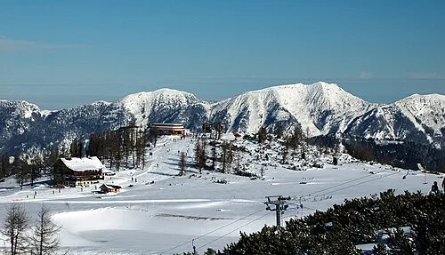 Hochsengs Mountain, Sankt Pankraz1.3 km N
-
Brandriegel Mountain, Sankt Pankraz1.9 km S
-
Teichlberg Mountain, Sankt Pankraz2.2 km SW
-
Fisch Bach River, Upper Austria3.7 km S
-
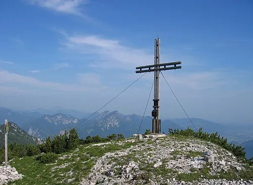 Schillereck Mountain, Sankt Pankraz2.8 km NW
-
Rohrauer Größtenberg Mountain, Sankt Pankraz3 km E
-
Feichtauer Seen Lake, Upper Austria5.3 km E
-
Riesen Berg Mountain, Sankt Pankraz4.2 km SW
More nature in Austria
-
Schöneck Mountain, Molln4.3 km NE
-
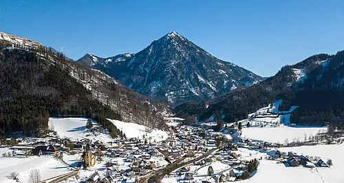 Spering Mountain, Sankt Pankraz4.7 km NW
-
Gschwendnerberg Mountain, Sankt Pankraz5 km SW
-
 Kleiner Spitzberg Mountain, Molln5.1 km N
-
Radingberg Mountain, Rossleithen5.3 km SE
-
Sonntagsmauer Mountain, Molln5.3 km E
Sources & licences
Data last updated: · 2 independent sources