Steyr-Münichholz Concentration Camp
Located in Steyr, Steyr Stadt Coordinates: 48°02′52″ N 14°26′25″ E
- Local time
- UTC+01:00
- Europe/Vienna · UTC+01:00
- Elevation
- 286 m
- above sea level
About Steyr-Münichholz Concentration Camp
Steyr-Münichholz Concentration Camp is a historic site. Location: Steyr, Steyr Stadt.
The Steyr-Münichholz concentration camp was one in a number of subcamps of the Mauthausen-Gusen concentration camp in Upper Austria. Inmates were drawn from the main camp, in order to exploit their labor for producing arms in Steyr-Daimler-Puch corporation factories, and to build air-raid bunkers in the town of Steyr. Roughly 300 Mauthausen-Gusen inmates had been doing construction work at the Steyr facilities since spring 1941, being transferred back and forth between Mauthausen and Steyr on a daily basis.
Read more on Wikipedia Text: Wikipedia contributors · CC BY-SA 4.0 · shortened
In comparison
- 11 sights and natural places within 10 km Ramingbach, Steyr
Nearby attractions & nature
Everything nearby-
Ramingbach River, Austria1.7 km S
-
Kirche ( ehem. Stiftskirche ) Barockstil Attraction, Garsten3.8 km SW
-
Steyr River, Upper Austria2.4 km SW
-
Laurenzi-Kapelle Attraction, Sankt Ulrich bei Steyr4.7 km S
-
Damberg-Aussichtswarte Landmark, Lower Austria5.1 km S
-
Hochwiese Mountain, Garsten5.7 km S
-
Damberg Mountain, Garsten5.2 km S
-
Schwarzberg Mountain, Garsten7.4 km S
Nearest towns and villages
-
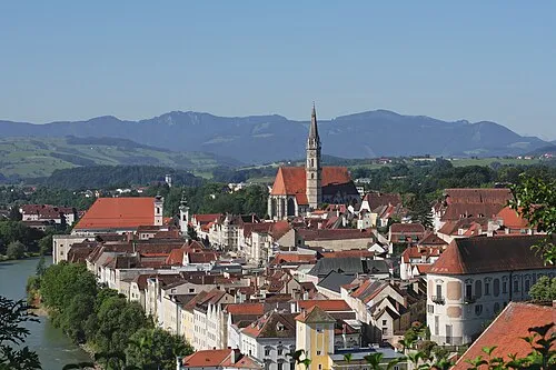 Steyr Town, Steyr1.5 km W
-
Behamberg Municipality, Politischer Bezirk Amstetten3.5 km E
-
Ramingdorf Village, Behamberg2.4 km NE
-
Wanzenöd Village, Behamberg2.7 km E
Sources & licences
Data last updated: · 2 independent sources