Totes Gebirge
Located in Upper Austria, Austria Coordinates: 47°38′00″ N 14°10′00″ E
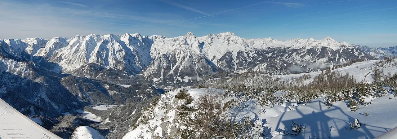
- Elevation
- 1,810 m
- above sea level
- Local time
- UTC+01:00
- Europe/Vienna · UTC+01:00
About Totes Gebirge
Totes Gebirge is a mountain. Location: Upper Austria, Austria. Elevation: 1,810 m.
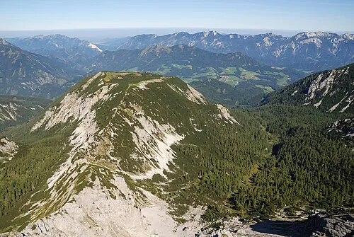
The Totes Gebirge, also known in English as the Dead Mountains, is a mountain range in Austria that forms part of the Northern Limestone Alps, lying between the Salzkammergut and the Ennstaler Alpen. The name Totes Gebirge is supposedly derived from the German words tot meaning "dead", referring to the apparent lack of vegetation, and Gebirge meaning "mountain range". The area is a large karst plateau with steep sides, and several mountain peaks above 2000 m.
Read more on Wikipedia Text: Wikipedia contributors · CC BY-SA 4.0 · shortened
At a glance
- Area
- 1,130 km²
Source: Wikidata
In comparison
- No. 3627 of 7537 mountains in Austria by elevation
- 123 sights and natural places within 10 km Schönberg, Kreuzspitze
Nearest towns and villages
-
Wörschach Municipality, Liezen District5.4 km S
-
Hinterberg Village, Hinterstoder5.6 km NW
-
Hinterstoder Municipality, Politischer Bezirk Kirchdorf an der Krems7.4 km N
-
Hutterer Böden Village, Hinterstoder5 km N
-
Liezen Municipality, Liezen District9 km SE
-
Weißenbach bei Liezen Village, Liezen7.3 km SE
Nearby attractions & nature
Everything nearby-
Zoderberg Mountain, Wörschach1.3 km W
-
Schönberg Mountain, Wörschach<0.1 km N
-
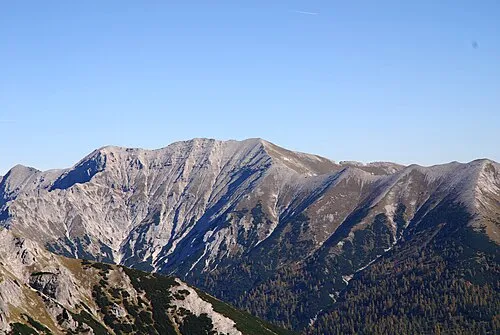 Kreuzspitze Mountain, Wörschach<0.1 km N
-
 Hochmölbing Mountain, Wörschach<0.1 km N
-
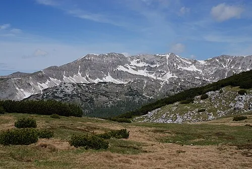 Sattelkoppen Mountain, Liezen1.3 km E
-
Mittermölbing Mountain, Liezen1.3 km E
-
Große Scheibe Mountain, Wörschach1.3 km W
-
Brunner See Lake, Styria2.5 km E
More nature in Austria
-
Lugisbrunnen Natural site, Upper Austria4.3 km N
-
 Loigistal Natural site, Upper Austria7.7 km N
-
Strombodingwasserfall Natural site, Upper Austria9 km N
-
Schafkögel Mountain, Hinterstoder2.2 km NE
-
Schrocken Mountain, Hinterstoder2.2 km NE
-
Kleine Scheibe Mountain, Hinterstoder2.5 km W
Sources & licences
Data last updated: · 2 independent sources