Gampern
Located in Vöcklabruck District, Upper Austria Coordinates: 47°59′51″ N 13°33′09″ E
- Population
- 2,917
- 2.9K
- Elevation
- 491 m
- above sea level
- Local time
- UTC+01:00
- Europe/Vienna · UTC+01:00
- Places inside
- 19
- listed under Gampern
About Gampern
Gampern is a municipality. Location: Vöcklabruck District, Upper Austria. Population: 2,917. Elevation: 491 m.
In comparison
- No. 17 of 52 places in Vöcklabruck District by population
- Nearest larger town: Timelkam, 4 km E
- 10 sights and natural places within 10 km Vöckla Bach, Ampfelwang Bach
- Listed here: Village: 19
Places in Gampern
19 places-
Gampern Village718
-
Bierbaum Village328
-
Weiterschwang Village261
-
Witzling Village136
-
Schwarzmoos Village135
-
Bergham Village110
-
Piesdorf Village89
-
Pöring Village79
-
Genstetten Village61
-
Egning Village59
-
Hehenberg Village53
-
Oberheikerding Village52
-
Fischham Village47
-
Siedling Village46
-
Stötten Village36
-
Stein Village20
-
Unterheikerding Village20
-
Jochling Village
-
Viehhaus Village
Nearby attractions & nature
Everything nearby-
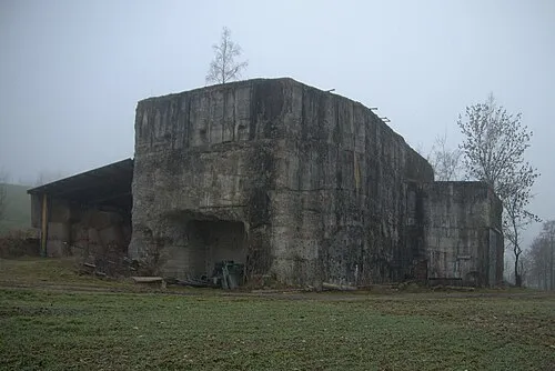 Redl Zipf Concentration Camp (Schlier) Historic site, Neukirchen an der Vöckla5.2 km NW
-
Vöckla Bach River, Upper Austria3.5 km E
-
Ampfelwang Bach River, Upper Austria4.1 km NE
-
Lenzing Concentration Camp Historic site, Lenzing4.9 km SE
-
Dürre Ager River, Upper Austria4.8 km E
-
Hauptkamin der Lenzing-Werke Landmark, Lenzing5.5 km SE
-
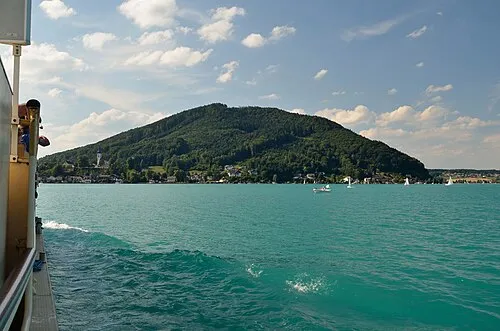 Buchberg Mountain, St Georgen im Attergau8 km S
-
Gahberg Mountain, Weyregg am Attersee9.6 km S
Sources & licences
Data last updated: