Edt bei Lambach
Located in Wels-Land District, Upper Austria Coordinates: 48°06′22″ N 13°53′59″ E
- Population
- 2,155
- 2.2K
- Elevation
- 361 m
- above sea level
- Local time
- UTC+01:00
- Europe/Vienna · UTC+01:00
- Places inside
- 25
- listed under Edt bei Lambach
About Edt bei Lambach
Edt bei Lambach is a municipality. Location: Wels-Land District, Upper Austria. Population: 2,155. Elevation: 361 m.
In comparison
- No. 14 of 24 places in Wels-Land District by population
- Nearest larger town: Lambach, 2 km SW
- 10 sights and natural places within 10 km Lambach Abbey, Alm
- Listed here: Village: 24, Neighbourhood: 1
Places in Edt bei Lambach
25 places-
Kropfing Village881
-
Graben Village551
-
Hagenberg Village144
-
Saag Village119
-
Fluchtwang Village113
-
Mernbach Village43
-
Unterroithen Village38
-
Kreisbichl Village33
-
Sperr Village28
-
Edt bei Lambach Village24
-
Breitenberg Village16
-
Laimberg Village11
-
Mairlambach Village11
-
Bergern Village10
-
Roith Village9
-
Holzmanning Village8
-
Schlatt Village8
-
Niederschwaig Village7
-
Niederzeiling Village6
-
Oberroithen Village6
-
Winkling Village6
-
Brandstatt Village5
-
Hölzlberg Village4
-
Schmidhub Village1
-
Sand Neighbourhood
Nearby attractions & nature
Everything nearby-
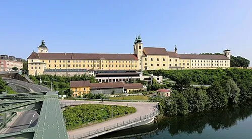 Lambach Abbey Attraction, Lambach2.4 km SW
-
Alm River, Upper Austria2.8 km SE
-
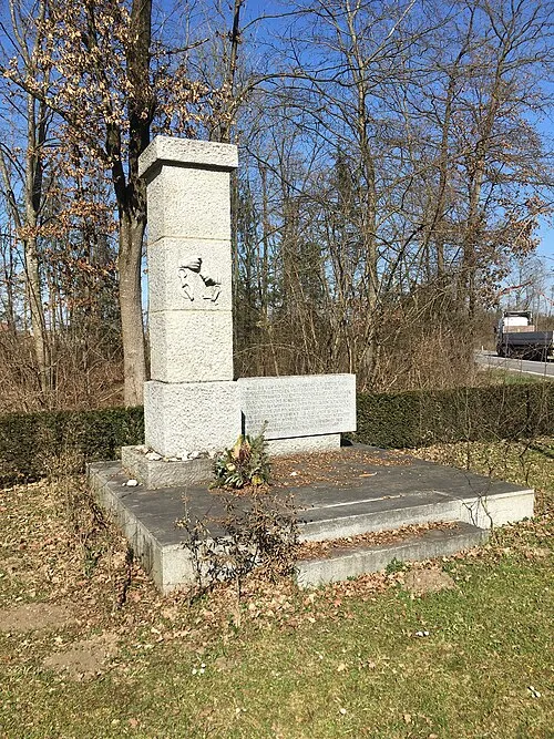 Gunskirchen Concentration Camp (Wels I) Historic site, Gunskirchen5 km NE
-
Schloss Almegg Historic site, Steinerkirchen an der Traun4.6 km S
-
Ager River, Upper Austria4.5 km SW
-
Schloss Würting Historic site, Offenhausen6.8 km NW
-
Bachmanning Concentration Camp Historic site, Bachmanning8.3 km W
-
Laudachbach River, Upper Austria8.2 km S
Sources & licences
Data last updated: