Hafeld
Located in Fischlham, Wels-Land District Coordinates: 48°05′00″ N 13°55′00″ E
- Population
- 462
- 462
- Elevation
- 339 m
- above sea level
- Local time
- UTC+01:00
- Europe/Vienna · UTC+01:00
About Hafeld
Hafeld is a village. Location: Fischlham, Wels-Land District. Population: 462. Elevation: 339 m.
In comparison
- Most populous of 5 places in Fischlham
- Nearest larger town: Kropfing, 1 km NW
- 8 sights and natural places within 10 km Alm, Schloss Almegg
Nearby attractions & nature
Everything nearby-
Alm River, Upper Austria<0.1 km N
-
Schloss Almegg Historic site, Steinerkirchen an der Traun1.9 km S
-
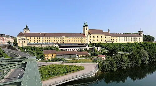 Lambach Abbey Attraction, Lambach3.1 km W
-
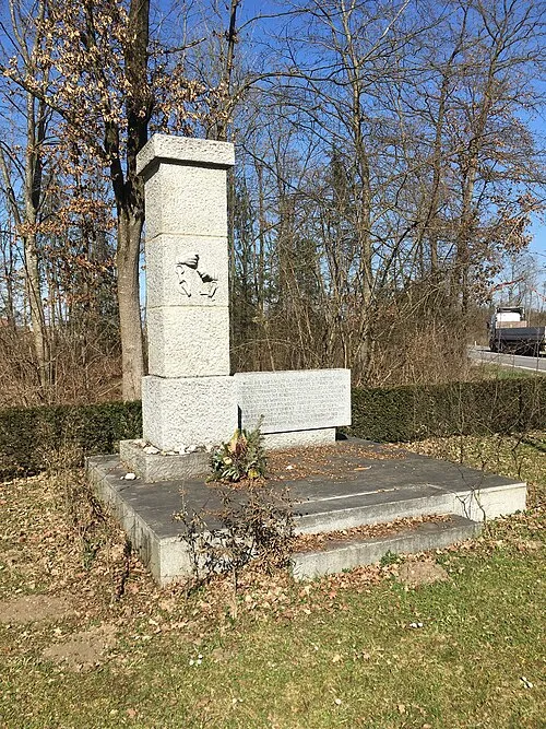 Gunskirchen Concentration Camp (Wels I) Historic site, Gunskirchen6.2 km NE
-
Ager River, Upper Austria5 km W
-
Laudachbach River, Upper Austria5.6 km S
Sources & licences
Data last updated: