Schleißheim
Located in Wels-Land District, Upper Austria Coordinates: 48°08′56″ N 14°04′52″ E
- Population
- 1,334
- 1.3K
- Elevation
- 369 m
- above sea level
- Local time
- UTC+01:00
- Europe/Vienna · UTC+01:00
- Places inside
- 3
- listed under Schleißheim
About Schleißheim
Schleißheim is a municipality. Location: Wels-Land District, Upper Austria. Population: 1,334. Elevation: 369 m.
In comparison
- No. 19 of 24 places in Wels-Land District by population
- Nearest larger town: Schafwiesen, 3 km N
- 7 sights and natural places within 10 km Schloss Dietach, Wels II Concentration Camp
- Listed here: Village: 3
Places in Schleißheim
3 places-
Schleissheim Village994
-
Dietach Village269
-
Blindenmarkt bei Schleißheim Village
Nearby attractions & nature
Everything nearby-
Schloss Dietach Historic site, Weißkirchen an der Traun2.4 km NE
-
Wels II Concentration Camp Historic site, Wels3.8 km NW
-
Aiterbach River, Upper Austria4.8 km W
-
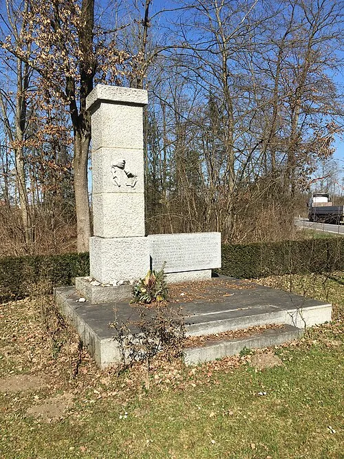 Gunskirchen Concentration Camp (Wels I) Historic site, Gunskirchen9.7 km W
-
Schachen Wald Natural site, Upper Austria7.5 km SE
-
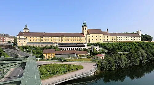 Lambach Abbey Attraction, Lambach16 km SW
-
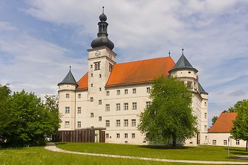 Hartheim Euthanasia Centre Historic site, Alkoven15 km N
-
Pollhamm Mountain, Sattledt9.4 km S
Sources & licences
Data last updated: