Traunleiten
Located in Steinhaus, Wels-Land District Coordinates: 48°07′18″ N 13°58′36″ E
- Population
- 351
- 351
- Elevation
- 393 m
- above sea level
- Local time
- UTC+01:00
- Europe/Vienna · UTC+01:00
About Traunleiten
Traunleiten is a village. Location: Steinhaus, Wels-Land District. Population: 351. Elevation: 393 m.
In comparison
- No. 3 of 6 places in Steinhaus by population
- Nearest larger town: Gunskirchen, 2 km NW
- 7 sights and natural places within 10 km Gunskirchen Concentration Camp (Wels I), Aiterbach
Nearby attractions & nature
Everything nearby-
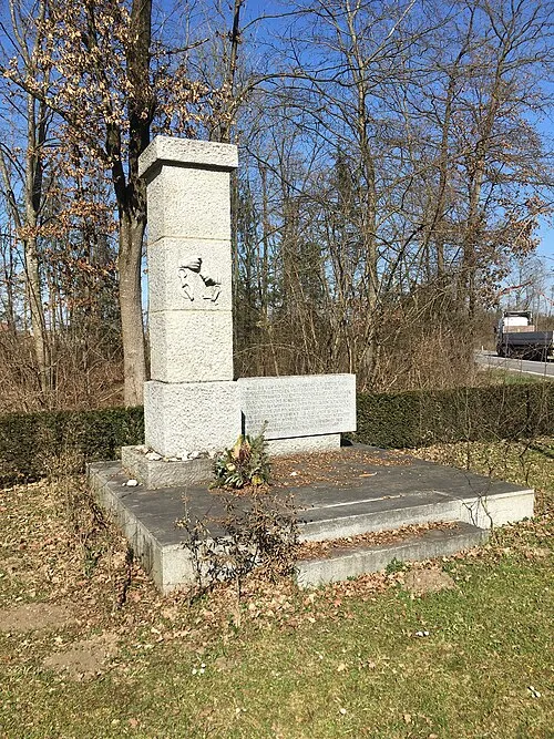 Gunskirchen Concentration Camp (Wels I) Historic site, Gunskirchen2.2 km NW
-
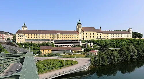 Lambach Abbey Attraction, Lambach8.2 km SW
-
Aiterbach River, Upper Austria4.3 km NE
-
Alm River, Upper Austria6.2 km SW
-
Schloss Almegg Historic site, Steinerkirchen an der Traun7.6 km SW
-
Wels II Concentration Camp Historic site, Wels6.6 km NE
Sources & licences
Data last updated: