Alpwegkopf
Located in Laterns, Feldkirch District Coordinates: 47°16′25″ N 9°42′56″ E
- Elevation
- 1,437 m
- above sea level
- Local time
- UTC+01:00
- Europe/Vienna · UTC+01:00
About Alpwegkopf
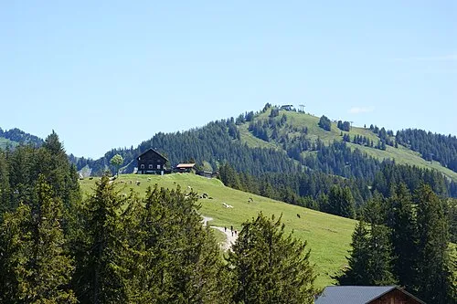
Alpwegkopf is a mountain. Location: Laterns, Feldkirch District. Elevation: 1,437 m.
At a glance
- Topographic prominence
- 24 m
Source: Wikidata
In comparison
- No. 4727 of 7537 mountains in Austria by elevation
- 65 sights and natural places within 10 km Männle, Grafenboden
Nearest towns and villages
Nearby attractions & nature
Everything nearby-
Männle Mountain, Laterns1.3 km E
-
Grafenboden Mountain, Zwischenwasser2 km N
-
Laternser Tal Natural site, Vorarlberg2.2 km SE
-
 Nob Mountain, Laterns3.6 km E
-
Muttkopf Mountain, Satteins3.6 km S
-
Dünser Horn Mountain, Dünserberg3.7 km S
-
Kopes Mountain, Dünserberg3.9 km S
-
Falben Mountain, Laterns4.1 km E
Sources & licences
Data last updated: · 2 independent sources