Kleines Walsertal
Located in Vorarlberg, Austria Coordinates: 47°23′00″ N 10°12′00″ E
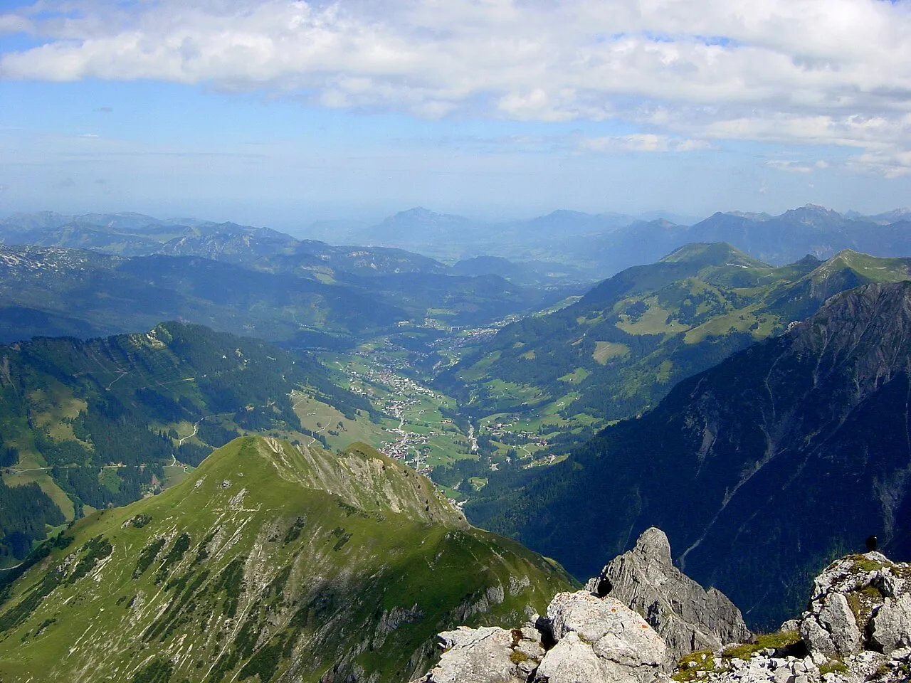
- Elevation
- 1,032 m
- above sea level
- Local time
- UTC+01:00
- Europe/Vienna · UTC+01:00
About Kleines Walsertal
Kleines Walsertal is a natural site. Location: Vorarlberg, Austria.
Kleinwalsertal is a valley in the Austrian province of Vorarlberg and part of the Bregenz district. It includes the municipality of Mittelberg and consists of three villages along the River Breitach. Due to the geographic location in the Allgäu Alps with its alpine terrain, the Kleinwalsertal has no direct traffic connection to the rest of Vorarlberg. It is accessible only via Oberstdorf, Germany, to the north, and thus is an Austrian "practical exclave" or "pene-exclave".
Read more on Wikipedia Text: Wikipedia contributors · CC BY-SA 4.0 · shortened
In comparison
- 139 sights and natural places within 10 km Kackenkopf, Engenkopf
Nearest towns and villages
-
Riezlern Village, Mittelberg3 km S
-
Mittelberg Village, Mittelberg4.1 km SW
-
Hirschegg Village, Mittelberg4.5 km SW
-
Schwende Village, Mittelberg1.9 km SW
-
Innerschwende Neighbourhood, Mittelberg1.9 km SW
-
Ausserschwende Neighbourhood, Mittelberg1.9 km SW
Nearby attractions & nature
Everything nearby-
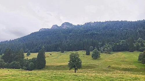 Hinterer Kackenkopf Mountain, Oberstdorf, Markt2 km NW
-
Engenkopf Mountain, Oberstdorf, Markt1.9 km NE
-
Kackenkopf Mountain, Vorarlberg1.8 km NW
-
Unteres Hörnle Mountain, Oberstdorf, Markt1.9 km NW
-
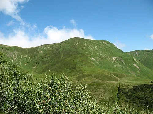 Schlappoltkopf Mountain, Austria3.3 km SE
-
Kackenköpfe Mountain, Vorarlberg2 km NW
-
Kähberg Mountain, Vorarlberg2.4 km W
-
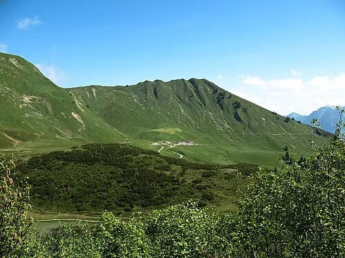 Söller Kopf Mountain, Oberstdorf, Markt3.4 km SE
More nature in Austria
-
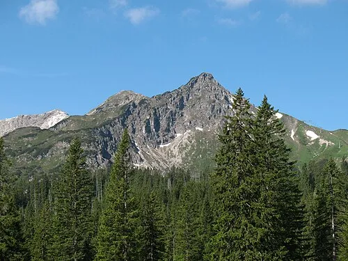 Kanzelwand Mountain, Mittelberg5.6 km S
-
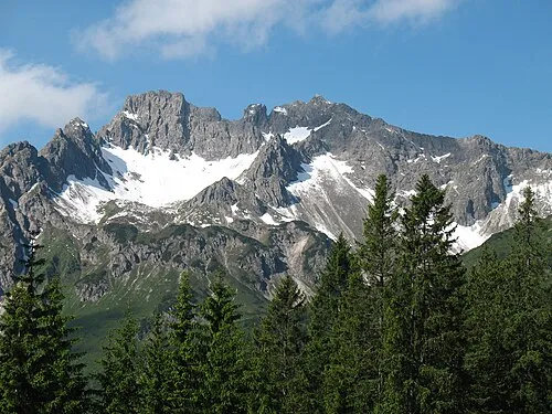 Hammerspitze Mountain, Mittelberg6.3 km S
-
Toreck Mountain, Vorarlberg5.4 km W
-
Rohrmooser Hörnle Mountain, Vorarlberg3.2 km W
-
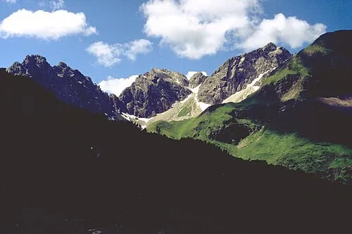 Angererkopf Mountain, Mittelberg10 km S
-
Gehrenspitze Mountain, Mittelberg4 km S
Sources & licences
Data last updated: · 2 independent sources