Vorarlberg
Located in Austria Coordinates: 47°15′00″ N 9°55′00″ E
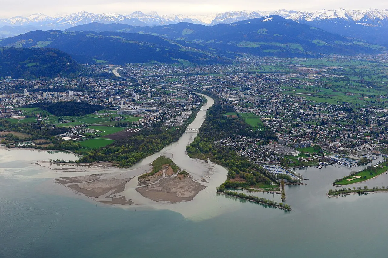
- Population
- 401,674
- 401.7K
- Elevation
- 1,063 m
- above sea level
- Local time
- UTC+01:00
- Europe/Vienna · UTC+01:00
- Places inside
- 121
- listed under Vorarlberg
About Vorarlberg
Vorarlberg is a region. Location: Austria. Population: 401,674.
Vorarlberg ( FOR-arl-burg; Austrian German: [foːɐ̯ˈarlbɛrɡ] ; Vorarlbergisch: Vorarlbearg, Voralbärg, or Voraadelbearg) is the westernmost state (Land) of Austria. It has the second-smallest geographical area after Vienna and, although it also has the second-smallest population, it is the state with the second-highest population density (also after Vienna). It borders three countries: Germany (Bavaria and Baden-Württemberg via Lake Constance), Switzerland (Grisons and St. Gallen), and Liechtenstein.
Read more on Wikipedia Text: Wikipedia contributors · CC BY-SA 4.0 · shortened
At a glance
- Area
- 2,602 km²
Source: Wikidata
In comparison
- 164 sights and natural places within 10 km Pfarrkirche Fontanella, Seewaldsee
- Listed here: Mountain: 52, River: 38, Natural site: 18, Lake: 9
Places in Vorarlberg
121 places-
Leckenbach River
-
Leckenbach River
-
Littenbach River
-
Litz Bach River
-
Lüner Lake Lake
-
Lutz River
-
Meng River
-
Mittelgrat Mountain
-
Montafontal Natural site
-
Mühlgraben Gleggen River
-
Müselbach River
-
Naafkopf Mountain
-
Nenzigast Bach River
-
Obere Gottesackerwände Mountain
-
Ochsental Natural site
-
Östliche Plattenspitze Mountain
-
Östlicher Kromerspitz Mountain
-
Paschianichöpf Mountain
-
Plattenturm Mountain
-
Rauher Kopf - HG Mountain
-
Rehköpfl Mountain
-
Rellstal Natural site
-
Rheinholz Gaißau Natural site
-
Rickenbach River
-
Rickenbach River
-
Roggspitze Mountain
-
Rohrmooser Hörnle Mountain
-
Roten Chöpf Mountain
-
Rotspitz Mountain
-
Ruggbach River
-
Sädelhorn Mountain
-
Salaruelkopf Mountain
-
Samstenberg Mountain
-
Schafberg Mountain
-
Schafköpfe Mountain
-
Schaftällichopf Mountain
-
Schlappiner Grat Mountain
-
Schlappiner Spitz Mountain
-
Seenadlen Mountain
-
Seeschijen Mountain
-
Seiler Bach River
-
Silbertal Natural site
-
Sonntagsspitze Mountain
-
Standbach River
-
Staufensee Lake
-
Stüber Fall Natural site
-
Suggadinbach River
-
Sünser See Lake
-
Tilisuna See Lake
-
Toreck Mountain
-
Torkopf Mountain
-
Trittwangkopf Mountain
-
Üntschenspitze Mountain
-
Valschaviel Bach River
-
Verbella Bach River
-
Vermielbach River
-
Vermunt Stausee Lake
-
Wilder Tobel River
-
Winterberg Mountain
-
Zeinis Bach River
Largest cities and towns
-
Dornbirn Municipality, Politischer Bezirk Dornbirn48.8K
-
Bregenz Municipality, Politischer Bezirk Bregenz29.6K
-
Feldkirch Municipality, Feldkirch District32.9K
-
Dornbirn Town, Dornbirn49.3K
-
Lustenau Municipality, Politischer Bezirk Dornbirn22.5K
-
Hohenems Municipality, Politischer Bezirk Dornbirn16.1K
-
Bregenz City, Bregenz29.8K
-
Bludenz Municipality, Bludenz District14.4K
Nature and heritage in Vorarlberg
-
Zirmenkopf Mountain, Vandans
-
Allhöhe Mountain, Dalaas
-
Silvrettahorn Mountain, Gaschurn
-
Sarotlaspitzen Mountain, Sankt Gallenkirch
-
Riedkopf Mountain, Sankt Gallenkirch
-
Piz Buin Mountain, Gaschurn
Other regions in Austria
-
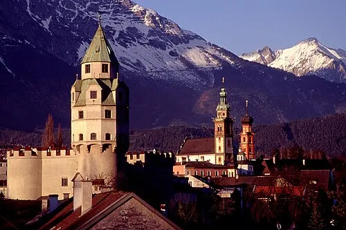 Tyrol Region, Austria107 km E
-
Bludenz District District, Vorarlberg13 km SW
-
Politischer Bezirk Bregenz District, Vorarlberg19 km N
-
Politischer Bezirk Dornbirn District, Vorarlberg19 km NW
-
Feldkirch District District, Vorarlberg25 km W
-
Landeck District, Tyrol51 km E
Sources & licences
Data last updated: · 2 independent sources