Bludenz District
Located in Vorarlberg, Austria Coordinates: 47°09′05″ N 9°49′28″ E
- Population
- 63,180
- 63.2K
- Elevation
- 566 m
- above sea level
- Local time
- UTC+01:00
- Europe/Vienna · UTC+01:00
- Places inside
- 29
- listed under Bludenz District
About Bludenz District
Bludenz District is a district. Location: Vorarlberg, Austria. Population: 63,180.
In comparison
- 95 sights and natural places within 10 km Alvier, Alfenzbach
- Listed here: Municipality: 29
Places in Bludenz District
29 places-
Bludenz Municipality14.4K
-
Nenzing Municipality6.3K
-
Nüziders Municipality4.9K
-
Schruns Municipality3.8K
-
Ludesch Municipality3.4K
-
Bürs Municipality3.2K
-
Vandans Municipality2.6K
-
Bludesch Municipality2.4K
-
Bartholomäberg Municipality2.3K
-
Thüringen Municipality2.3K
-
Sankt Gallenkirch Municipality2.2K
-
Tschagguns Municipality2.2K
-
Dalaas Municipality1.6K
-
Lech Municipality1.5K
-
Gaschurn Municipality1.5K
-
Innerbraz Municipality981
-
Raggal Municipality864
-
Silbertal Municipality845
-
Sankt Anton im Montafon Municipality727
-
Thüringerberg Municipality714
-
Sonntag Municipality702
-
Brand Municipality693
-
Klösterle Municipality677
-
Bürserberg Municipality538
-
Fontanella Municipality458
-
Sankt Gerold Municipality395
-
Blons Municipality340
-
Stallehr Municipality299
-
Lorüns Municipality281
Nature and heritage in Bludenz District
-
Zürser See Lake, Lech
-
Spullersee Lake, Dalaas
-
Silvretta Stausee Lake, Gaschurn
-
Formarin See Lake, Dalaas
-
Brüllender See Lake, Gaschurn
-
Seewaldsee Lake, Fontanella
Nearby attractions & nature
Everything nearby-
Alfenzbach River, Vorarlberg2.2 km SE
-
Alvier River, Vorarlberg1.9 km W
-
Meng River, Vorarlberg8.9 km NW
-
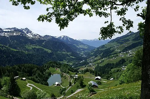 Großes Walsertal Natural site, Vorarlberg6.2 km N
-
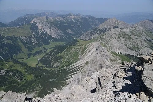 Gamperdonatal Natural site, Vorarlberg14 km W
-
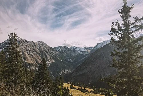 Brandner Tal Natural site, Vorarlberg6.8 km SW
Sources & licences
Data last updated: