Breitnock
Coordinates: 46°58′22″ N 11°45′29″ E
- Elevation
- 3,212 m
- above sea level
- Local time
- UTC+01:00
- Europe/Rome · UTC+01:00
About Breitnock
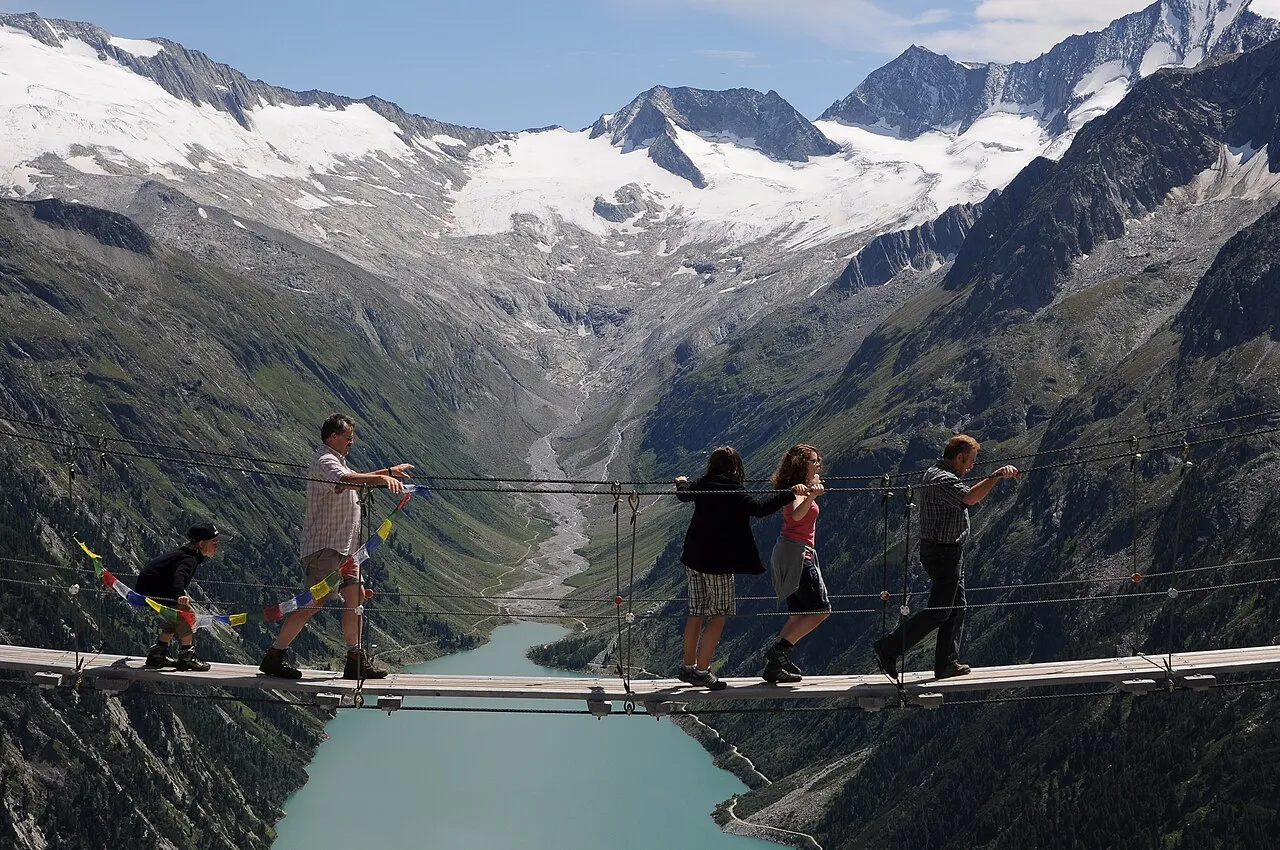
Breitnock is a mountain. Elevation: 3,212 m.
In comparison
- No. 206 of 4295 mountains in Italy by elevation
- 103 sights and natural places within 10 km Dosso Largo, Muttenock
Nearest towns and villages
-
Lappago Village, Selva dei Molini/Mühlwald6.9 km SE
-
Lappago di Sopra Village, Selva dei Molini/Mühlwald6.2 km SE
-
Cesa Village, Selva dei Molini/Mühlwald6 km S
-
Finkenberg Municipality, Politischer Bezirk Schwaz9.6 km N
-
Innertal Village, Ahrntal8.3 km E
-
Riobianco Village, Ahrntal9.3 km E
Nearby attractions & nature
Everything nearby-
Muttenock Mountain, Selva dei Molini/Mühlwald0.5 km E
-
Salzköpfl Mountain, Selva dei Molini/Mühlwald1.4 km SW
-
 Dosso Largo Mountain, Tyrol<0.1 km NE
-
Niederer Weisszint Mountain, Selva dei Molini/Mühlwald2.1 km SW
-
Mésule Mountain, Selva dei Molini/Mühlwald2.3 km NE
-
Südlicher Möselenock Mountain, Selva dei Molini/Mühlwald2.3 km NE
-
Gran Pilastro Mountain, Austria2.3 km W
-
Möselekopf Mountain, Selva dei Molini/Mühlwald2.5 km NE
Sources & licences
Data last updated: · 2 independent sources