Belevehchevo
Local name: Белевехчево
Located in Sandanski, Blagoevgrad Coordinates: 41°33′56″ N 23°18′26″ E
- Population
- 1
- 1
- Elevation
- 346 m
- above sea level
- Local time
- UTC+02:00
- Europe/Sofia · UTC+02:00
About Belevehchevo
Belevehchevo is a village. Location: Sandanski, Blagoevgrad. Population: 1. Elevation: 346 m.
Belevehchevo (Bulgarian: Белевехчево) is a village in Sandanski Municipality, Blagoevgrad Province, south-western Bulgaria and as of 2013 has only 1 inhabitant. It lies at the south-western foothills of the Pirin mountains facing the Sandanski-Petrich Valley. It is located at about 1 km east of the municipal centre Sandanski and some 124 km south of the national capital Sofia. In 1873 it had 32 households and 100 inhabitants, all of them Bulgarians.
Read more on Wikipedia Text: Wikipedia contributors · CC BY-SA 4.0 · shortened
At a glance
- Area
- 1.9 km²
Source: Wikidata
In comparison
- No. 27 of 27 places in Sandanski by population
- Nearest larger town: Polenitsa, 1 km W
Nearby attractions & nature
Everything nearby-
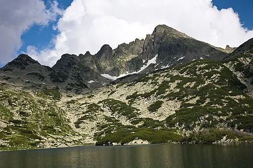 Dzhengalitsa Mountain, Sandanski21 km NE
-
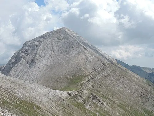 Vihren Mountain, Bansko24 km N
-
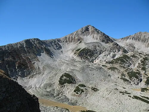 Mangar Tepe Mountain, Bansko24 km NE
-
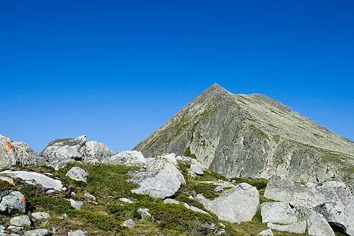 Momin Dvor Mountain, Pernik21 km NE
-
Kapnótopos Historic site, Sintiki22 km S
Sources & licences
Data last updated: · 2 independent sources