Karlanovo
Local name: Кърланово
Located in Sandanski, Blagoevgrad Coordinates: 41°33′00″ N 23°25′00″ E
- Population
- 66
- 66
- Elevation
- 609 m
- above sea level
- Local time
- UTC+02:00
- Europe/Sofia · UTC+02:00
About Karlanovo
Karlanovo is a village. Location: Sandanski, Blagoevgrad. Population: 66. Elevation: 609 m.
Karlanovo (Bulgarian: Кърланово) is a village in the municipality of Sandanski, in Blagoevgrad Province, Bulgaria. It is situated at the south-western foothills of the Pirin mountain range and is nestled within the Melnik Earth Pyramids.
Read more on Wikipedia Text: Wikipedia contributors · CC BY-SA 4.0 · shortened
At a glance
- Area
- 5.5 km²
Source: Wikidata
In comparison
- No. 12 of 27 places in Sandanski by population
- Nearest larger town: Gorna Sushitsa, 3 km W
Airports nearest to Karlanovo
- Thessaloniki Macedonia International Airport (SKG) Thessaloniki 120 km
- Kavala Alexander the Great International Airport (KVA) Kavala 123 km
- Sofia Airport (SOF) Sofia 127 km
Straight-line distance; airports with scheduled flights only. Source: OurAirports (public domain).
Nearby attractions & nature
Everything nearby-
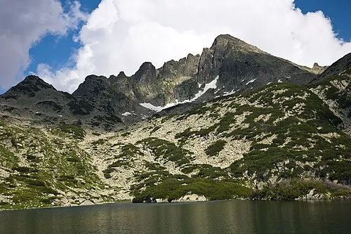 Dzhengalitsa Mountain, Sandanski18 km N
-
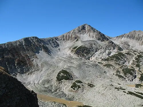 Mangar Tepe Mountain, Bansko21 km N
-
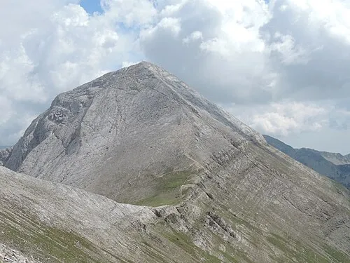 Vihren Mountain, Bansko24 km N
-
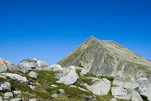 Momin Dvor Mountain, Pernik18 km N
-
Kapnótopos Historic site, Sintiki20 km S
Sources & licences
Data last updated: · 2 independent sources