Agía Paraskeví
Located in Livadia (Larnakas), Larnaka Coordinates: 34°57′20″ N 33°37′37″ E
- Local time
- UTC+02:00
- Asia/Nicosia · UTC+02:00
- Elevation
- 16 m
- above sea level
- Airports
- LCA Larnaca International Airport9 km
- ECN Ercan International Airport24 km
About Agía Paraskeví
Agía Paraskeví is a tourist attraction. Location: Livadia (Larnakas), Larnaka. The best months to visit are April, November. The nearest airport is Larnaca International Airport (9 km). Nearby sights include Ágios Sávvas and Agía Anastasía.
Climate of Agía Paraskeví
Best months for sightseeingBest months for sightseeing: April, November.
This month · November
A good month to visit
Day 23° · Night 12° · Rain 51 mm
- Hottest month
- August (day 35°)
- Coldest month
- January (night 7°)
- Wettest month
- December (91 mm)
- Driest month
- July (1 mm)
Bars: average monthly low and high temperature. Below: precipitation. Monthly averages for 1970–2000 at about 18 km resolution, adjusted for elevation. Highlighted months are mild and relatively dry. Source: WorldClim 2.1 (CC BY 4.0).
Show values as a table
| Month | Jan | Feb | Mar | Apr | May | Jun | Jul | Aug | Sep | Oct | Nov | Dec |
|---|---|---|---|---|---|---|---|---|---|---|---|---|
| Average high (°C) | 16° | 17° | 19° | 23° | 28° | 32° | 35° | 35° | 33° | 29° | 23° | 19° |
| Average low (°C) | 7° | 7° | 8° | 11° | 15° | 19° | 22° | 22° | 20° | 16° | 12° | 9° |
| Precipitation (mm) | 72 | 53 | 46 | 20 | 15 | 4 | 1 | 1 | 4 | 23 | 51 | 91 |
How to get to Agía Paraskeví
The nearest airport is Larnaca International Airport (LCA), 9 km to the south as the crow flies. The nearest large city is Nicosia, 35 km to the northwest.
Airports
- Larnaca International Airport (LCA) Larnaca 9 kmsouth
- Ercan International Airport (ECN) Tymbou (Kirklar) 24 kmnorthwest
- Paphos International Airport (PFO) Paphos 108 kmwest
Nearby large cities
- Nicosia Population: 200.5K 35 kmnorthwest
- Limassol Population: 154K 62 kmsouthwest
- Silifke Population: 132.7K 160 kmnorth
- Mersin Population: 537.8K 225 kmnortheast
- Alanya Population: 364.2K 230 kmnorthwest
Straight-line distances; road distances are longer. Airport data: OurAirports.
Day trips from Agía Paraskeví
Within 100 km: 1,203 historic and cultural sites, 553 natural sites, 99 lakes, rivers and coasts.
0–25 km215 places
- Stavrovoúni Attraction 19 kmSW
- Kastela Beach 6 kmS
- Barsak Mountain 21 kmNW
- Karavoi Mountain 10 kmNW
25–60 km903 places
- Cyprus Island 59 kmW
- Governor’s Beach Beach 42 kmSW
- Poseidon Beach Beach 28 kmE
- Nissi Beach Beach 31 kmE
60–100 km737 places
- Mount Olympus Mountain 70 kmW
- Pétra tou Limníti Island 85 kmW
- Nisídes Skaloúdia Island 84 kmNE
- Nisída Kernádia Island 72 kmNE
Straight-line distances.
Nearby attractions & nature
Everything nearby-
Ágios Sávvas Historic site, Livadia (Larnakas)1.1 km SE
-
Agía Anastasía Attraction, Aradíppou1.3 km W
-
Ágios Antónios Historic site, Kelliá2.3 km N
-
Ágioi Anárgyroi Attraction, Lárnaka2.8 km S
-
Panayia Attraction, Aradíppou3 km W
-
Agios Ioannis Prodomos Attraction, Lárnaka3.1 km S
-
Kition - Pervolia Historic site, Lárnaka3.4 km S
-
Larnaca Castle Historic site, Lárnaka5.2 km S
Nearest towns and villages
-
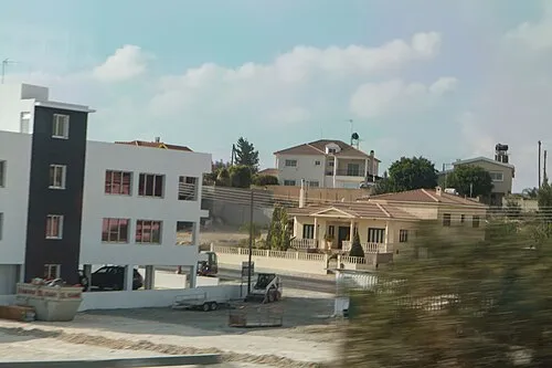 Aradhippou Town, Aradíppou3.7 km W
-
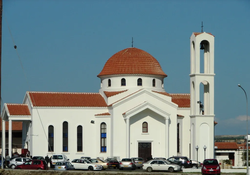 Livádia Town, Livadia (Larnakas)0.1 km SE
-
Agioi Anargyroi I Village, Lárnaka1.8 km S
-
Kokkines Village, Aradíppou1.9 km SW
Sources & licences
Data last updated: