Pyrga
Local name: Πυργά Λάρνακας
Located in Pyrga (Larnakas), Larnaka Coordinates: 34°55′33″ N 33°26′02″ E
- Population
- 782
- 782
- Elevation
- 271 m
- above sea level
- Local time
- UTC+02:00
- Asia/Nicosia · UTC+02:00
About Pyrga
Pyrga is a village. Location: Pyrga (Larnakas), Larnaka. Population: 782. Elevation: 271 m.
Pyrga (Greek: Πυργά; Turkish: Çamlıbel) is a village in the Larnaca District of Cyprus, located on 4 km east of Kornos. The village was built near a medieval building called the Royal Chapel of Pyrgá, or chapel of St Catherine ('Ayia Aikaterini'), at the edge of the village on its eastern side. This ancient chapel has not been used for a long time as a religious building, but it is situated next to the current parochial church of St Mary ('Ayia Marina'), which was constructed in 1992.
Read more on Wikipedia Text: Wikipedia contributors · CC BY-SA 4.0 · shortened
At a glance
- Area
- 40.5 km²
Source: Wikidata
In comparison
- Nearest larger town: Mosfiloti, 3 km N
- 50 sights and natural places within 10 km Agía Marína, Ágios Geórgios
Nearby attractions & nature
Everything nearby-
Agía Marína Historic site, Pyrga (Larnakas)0.2 km SW
-
Pikrasidi Mountain, Kórnos2.5 km W
-
Appidaki Mountain, Psevdás2.6 km E
-
Ágios Geórgios Attraction, Kórnos2 km NW
-
Ágios Módestos Attraction, Pyrga (Larnakas)2.6 km SE
-
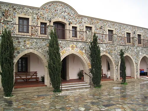 Stavrovoúni Attraction, Pyrga (Larnakas)4.5 km S
Sources & licences
Data last updated: · 2 independent sources