Spálený
Located in Teplá, Cheb District Coordinates: 50°01′27″ N 12°49′53″ E
- Elevation
- 736 m
- above sea level
- Local time
- UTC+01:00
- Europe/Prague · UTC+01:00
About Spálený
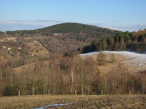
Spálený is a mountain. Location: Teplá, Cheb District. Elevation: 736 m.
In comparison
- No. 338 of 1286 mountains in Czechia by elevation
- 2 sights and natural places within 10 km Vlčí kámen [Prameny], Prachometský kopec
Airports nearest to Spálený
- Karlovy Vary Airport (KLV) Karlovy Vary 21 km
- Václav Havel Airport Prague (PRG) Prague 103 km
- Nuremberg Airport (NUE) Nuremberg 139 km
Straight-line distance; airports with scheduled flights only. Source: OurAirports (public domain).
Nearest towns and villages
Nearby attractions & nature
Everything nearby-
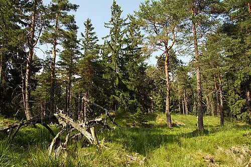 Vlčí kámen [Prameny] Mountain, Prameny7.5 km W
-
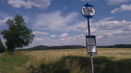 Prachometský kopec Mountain, Toužim9.1 km E
-
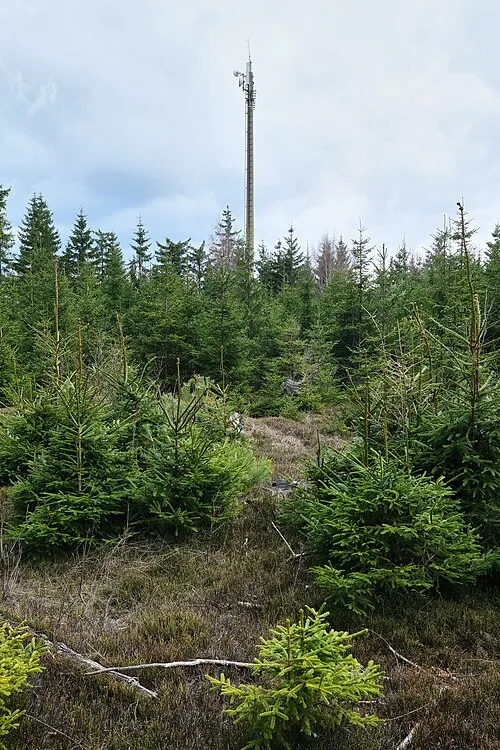 Šibeník [Krásno nad Teplou] Mountain, Krásno11 km NW
-
Hůrka Mountain, Stanovice11 km NE
-
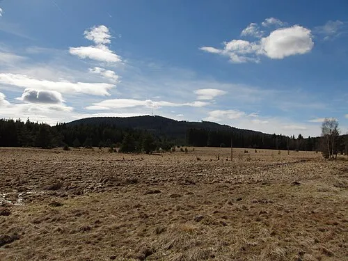 Chrudim Mountain, Horní Slavkov15 km NW
-
Špičák Mountain, Krásno11 km NW
-
Malý Špičák Mountain, Krásno11 km NW
-
 Uhelný vrch Mountain, Stanovice15 km NE
Sources & licences
Data last updated: · 2 independent sources