Ostrý
Located in Rpety, Beroun District Coordinates: 49°49′14″ N 13°57′34″ E
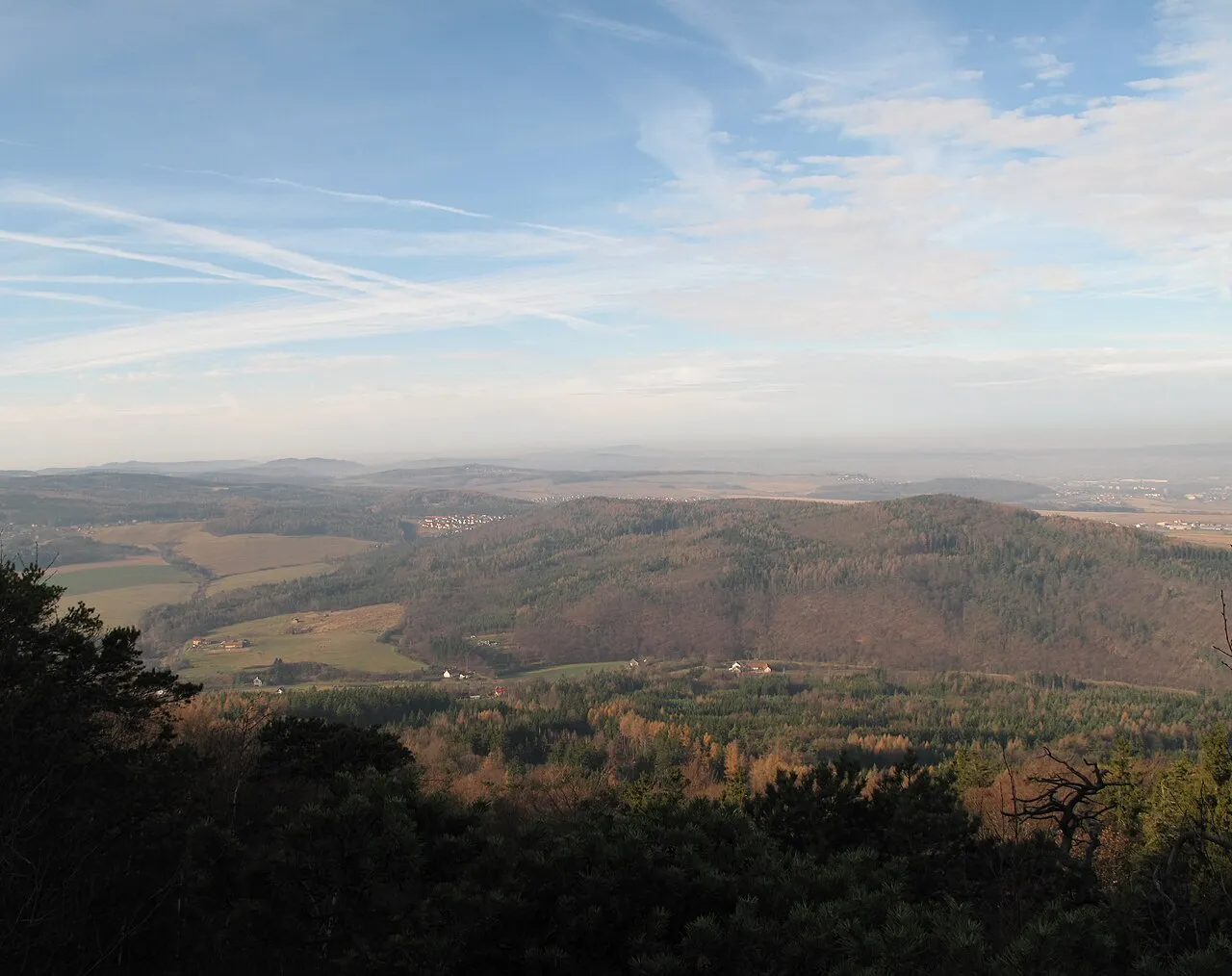
- Elevation
- 538 m
- above sea level
- Local time
- UTC+01:00
- Europe/Prague · UTC+01:00
About Ostrý
Ostrý is a mountain. Location: Rpety, Beroun District. Elevation: 538 m.
At a glance
- Topographic prominence
- 101 m
Source: Wikidata
In comparison
- No. 896 of 1286 mountains in Czechia by elevation
- 10 sights and natural places within 10 km Plešivec, Koníček [Podluhy v Brdech]
Airports nearest to Ostrý
- Václav Havel Airport Prague (PRG) Prague 38 km
- Karlovy Vary Airport (KLV) Karlovy Vary 86 km
- České Budějovice South Bohemian Airport (JCL) České Budějovice 103 km
Straight-line distance; airports with scheduled flights only. Source: OurAirports (public domain).
Nearest towns and villages
Nearby attractions & nature
Everything nearby-
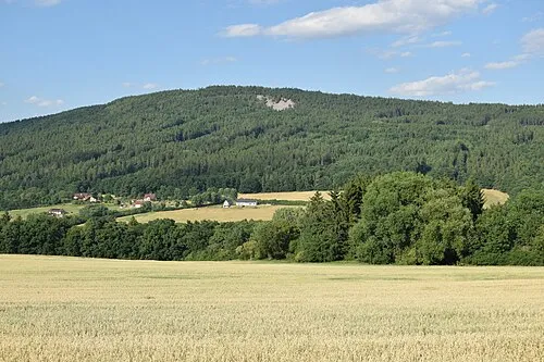 Plešivec Mountain, Jince2.4 km SE
-
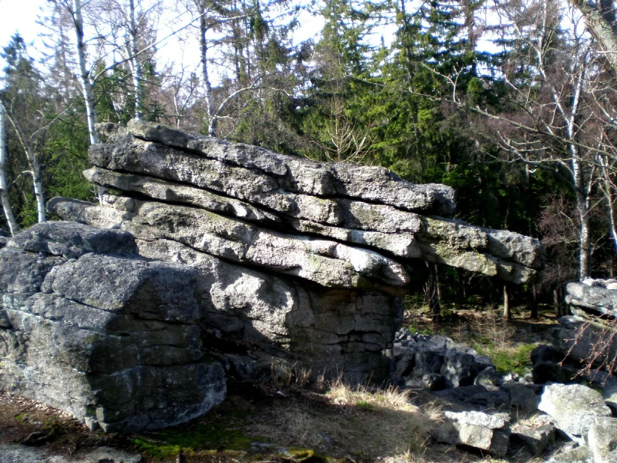 Koníček [Podluhy v Brdech] Mountain, Ohrazenice5.8 km S
-
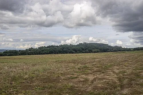 Šiberna [Hostomice pod Brdy] Mountain, Hostomice8.3 km E
-
Klouček Mountain, Sádek7.8 km S
-
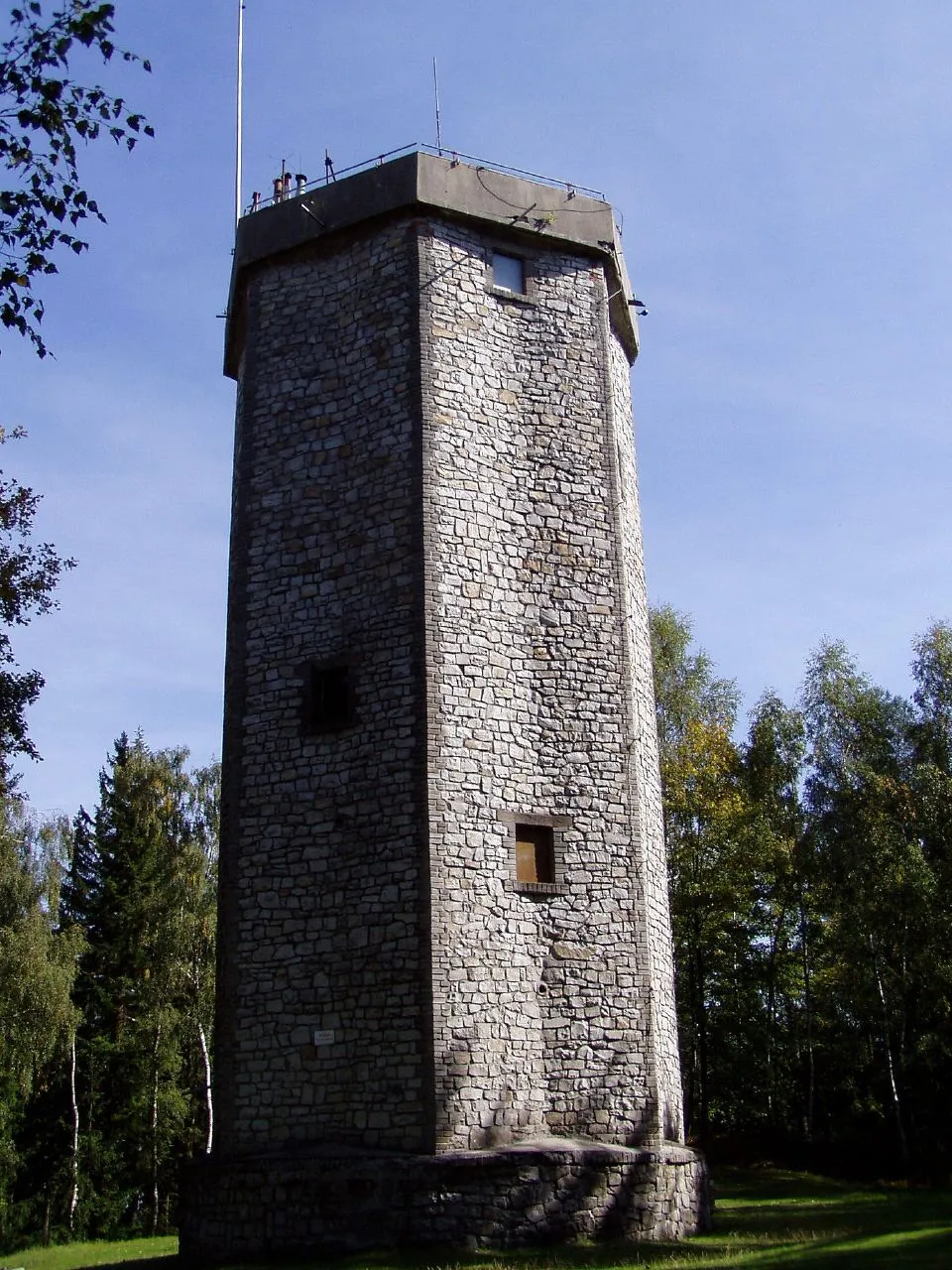 Studený vrch Mountain, Dobříš9.1 km E
-
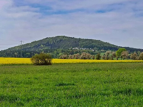 Jivina Mountain, Jivina9.7 km W
-
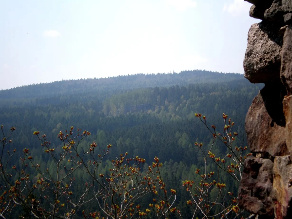 Beran Mountain, Zaječov9.4 km SW
-
Hejlák Mountain, Malá Víska9.5 km SW
Sources & licences
Data last updated: · 2 independent sources