Neratovice
Located in Mělník District, Central Bohemia Coordinates: 50°15′27″ N 14°29′58″ E
- Elevation
- 178 m
- above sea level
- Local time
- UTC+01:00
- Europe/Prague · UTC+01:00
- Places inside
- 2
- listed under Neratovice
About Neratovice
Neratovice is a municipality. Location: Mělník District, Central Bohemia. Elevation: 178 m.
In comparison
- Nearest larger town: Neratovice, 1 km E
- Listed here: Town: 1, Village: 1
Places in Neratovice
2 places-
Neratovice Town16.3K
-
Lobkovice Village813
Nearby attractions & nature
Everything nearby-
Jungfern Breschan Concentration Camp Historic site, Panenské Břežany6.1 km SW
-
Charles Bridge Landmark, Praha 120 km S
-
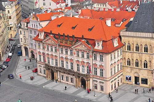 Kinsky Palace Historic site, Praha 120 km S
-
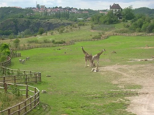 Prague Zoo Attraction, Praha-Troja17 km SW
-
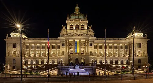 National Museum Museum, Praha 120 km S
-
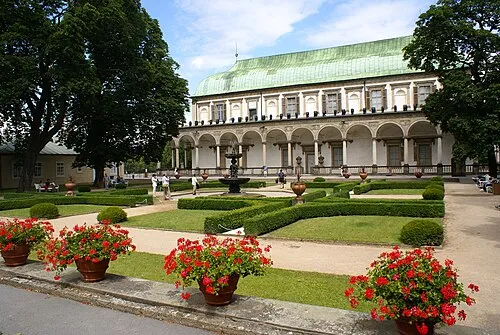 Letohrádek královny Anny Historic site, Praha 119 km S
-
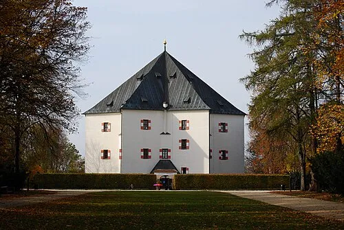 Letohrádek Hvězda Historic site, Praha 623 km SW
-
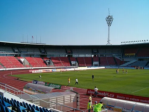 Stadion Evžena Rošického Landmark, Praha 621 km SW
Sources & licences
Data last updated: