Kotenčice
Located in Příbram District, Central Bohemia Coordinates: 49°44′15″ N 14°05′46″ E
- Elevation
- 428 m
- above sea level
- Local time
- UTC+01:00
- Europe/Prague · UTC+01:00
- Places inside
- 1
- listed under Kotenčice
About Kotenčice
Kotenčice is a municipality. Location: Příbram District, Central Bohemia. Elevation: 428 m.
In comparison
- Nearest larger town: Kotenčice, 0 km SW
- 4 sights and natural places within 10 km Malý Chlum, Studený vrch
Places in Kotenčice
1 place-
Kotenčice Village206
Nearby attractions & nature
Everything nearby-
Malý Chlum Mountain, Hluboš4.1 km NW
-
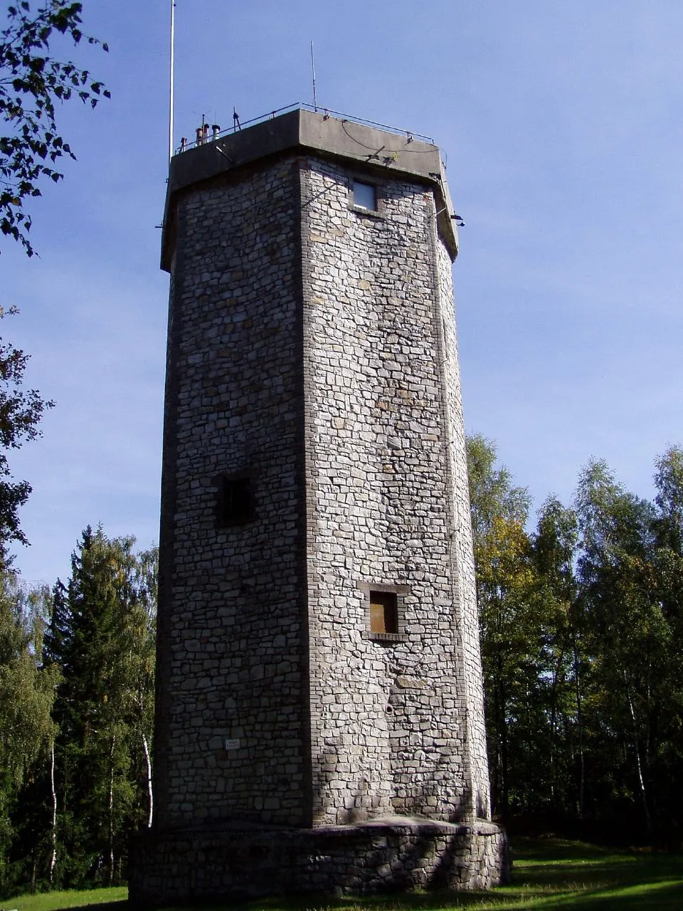 Studený vrch Mountain, Dobříš7.6 km N
-
Klouček Mountain, Sádek9 km W
-
Velká Leč Mountain, Višňová7.9 km SE
-
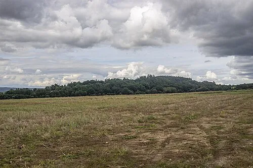 Šiberna [Hostomice pod Brdy] Mountain, Hostomice10 km N
-
Spálený Mountain, Dobříš10 km NE
-
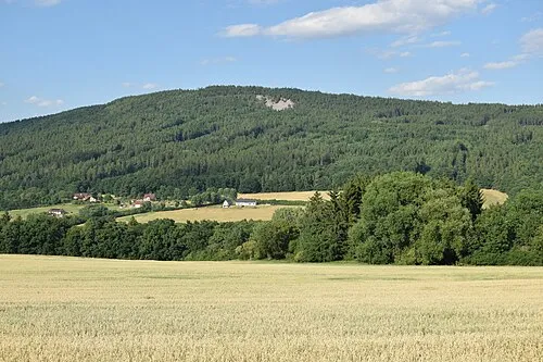 Plešivec Mountain, Jince11 km NW
-
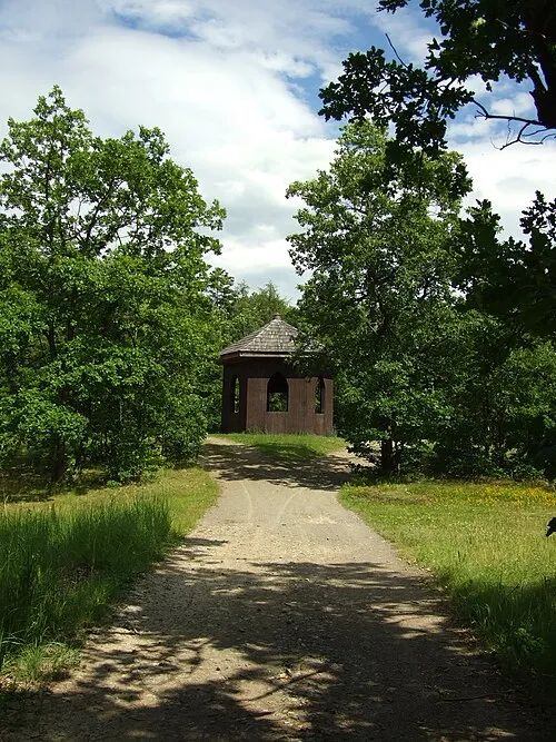 Králův Stolec Mountain, Mokrovraty11 km NE
Sources & licences
Data last updated: