Olešná
Located in Rakovník District, Central Bohemia Coordinates: 50°08′02″ N 13°42′02″ E
- Elevation
- 365 m
- above sea level
- Local time
- UTC+01:00
- Europe/Prague · UTC+01:00
- Places inside
- 1
- listed under Olešná
About Olešná
Olešná is a municipality. Location: Rakovník District, Central Bohemia. Elevation: 365 m.
In comparison
Airports nearest to Olešná
- Václav Havel Airport Prague (PRG) Prague 40 km
- Karlovy Vary Airport (KLV) Karlovy Vary 57 km
- Dresden Airport (DRS) Dresden 111 km
Straight-line distance; airports with scheduled flights only. Source: OurAirports (public domain).
Places in Olešná
1 place-
Olešná Village520
Nearby attractions & nature
Everything nearby-
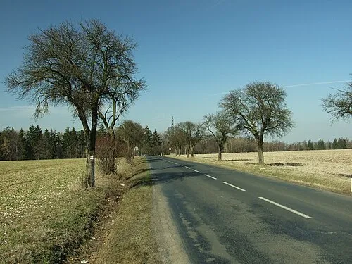 Džbán Mountain, Třeboc8.6 km NE
-
Krakov Mountain, Petrovice10 km SW
-
V Jedlinách Mountain, Václavy12 km SW
-
Hokovský vrch Mountain, Velká Chmelištná13 km SW
-
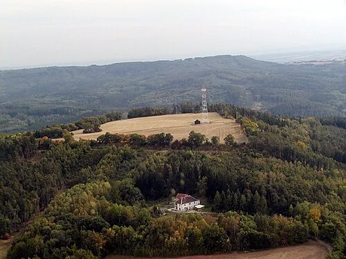 Kuk Mountain, Tuchořice14 km N
-
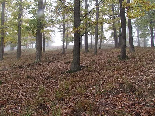 Vlastec Mountain, Skryje24 km S
-
Stráň Mountain, Milý16 km NE
-
Přívraty Mountain, Žďár18 km SW
Sources & licences
Data last updated: