Česká Lípa District
Located in Liberec Region, Czechia Coordinates: 50°40′00″ N 14°40′00″ E
- Population
- 102,204
- 102.2K
- Elevation
- 289 m
- above sea level
- Local time
- UTC+01:00
- Europe/Prague · UTC+01:00
- Places inside
- 57
- listed under Česká Lípa District
About Česká Lípa District
Česká Lípa District is a district. Location: Liberec Region, Czechia. Population: 102,204.
In comparison
- 5 sights and natural places within 10 km Strážný [Pertoltice pod Ralskem], Slaviček
- Listed here: Municipality: 57
Places in Česká Lípa District
57 places-
Bezděz Municipality
-
Blatce Municipality
-
Blíževedly Municipality
-
Bohatice Municipality
-
Brniště Municipality
-
Česká Lípa Municipality
-
Chlum Municipality
-
Chotovice Municipality
-
Cvikov Municipality
-
Doksy Municipality
-
Dubá Municipality
-
Dubnice Municipality
-
Hamr na Jezeře Municipality
-
Holany Municipality
-
Horní Libchava Municipality
-
Horní Police Municipality
-
Jestřebí Municipality
-
Kamenický Šenov Municipality
-
Kozly Municipality
-
Kravaře Municipality
-
Krompach Municipality
-
Kunratice u Cvikova Municipality
-
Kvítkov Municipality
-
Luka Municipality
-
Mařenice Municipality
-
Mimoň Municipality
-
Noviny pod Ralskem Municipality
-
Nový Bor Municipality
-
Nový Oldřichov Municipality
-
Okna Municipality
-
Okrouhlá Municipality
-
Pertoltice pod Ralskem Municipality
-
Polevsko Municipality
-
Provodín Municipality
-
Prysk Municipality
-
Radvanec Municipality
-
Ralsko Municipality
-
Skalice u České Lípy Municipality
-
Skalka u Doks Municipality
-
Sloup v Čechách Municipality
-
Slunečná Municipality
-
Sosnová Municipality
-
Stráž pod Ralskem Municipality
-
Stružnice Municipality
-
Stvolínky Municipality
-
Svojkov Municipality
-
Svor Municipality
-
Tachov Municipality
-
Tuhaň Municipality
-
Velenice Municipality
-
Velký Valtinov Municipality
-
Volfartice Municipality
-
Vrchovany Municipality
-
Zahrádky Municipality
-
Zákupy Municipality
-
Žandov Municipality
-
Ždírec Municipality
Nature and heritage in Česká Lípa District
Nearby attractions & nature
Everything nearby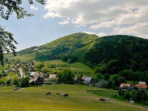
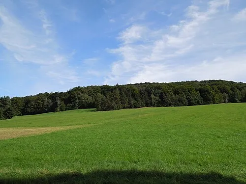
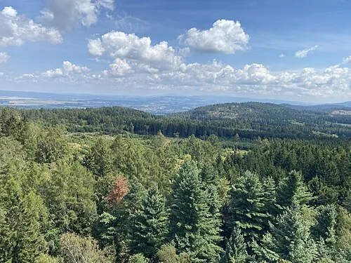
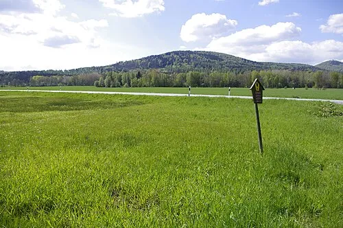
Sources & licences
Data last updated: