Horní Branná
Located in Semily District, Liberec Region Coordinates: 50°36′39″ N 15°33′47″ E
- Elevation
- 492 m
- above sea level
- Local time
- UTC+01:00
- Europe/Prague · UTC+01:00
- Places inside
- 2
- listed under Horní Branná
About Horní Branná
Horní Branná is a municipality. Location: Semily District, Liberec Region. Elevation: 492 m.
In comparison
- Nearest larger town: Horní Branná, 1 km SE
- 5 sights and natural places within 10 km Ober Hohenelbe Concentration Camp, Přední Žalý
- Listed here: Village: 2
Airports nearest to Horní Branná
- Pardubice Airport (PED) Pardubice 67 km
- Copernicus Wrocław Airport (WRO) Wrocław 108 km
- Václav Havel Airport Prague (PRG) Prague 109 km
Straight-line distance; airports with scheduled flights only. Source: OurAirports (public domain).
Places in Horní Branná
2 places-
Horní Branná Village1.8K
-
Valteřice Village1.2K
Nearby attractions & nature
Everything nearby-
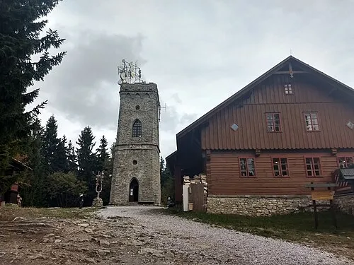 Přední Žalý Mountain, Hradec Králové Region5.3 km N
-
Ober Hohenelbe Concentration Camp Historic site, Vrchlabí4.2 km NE
-
Zadní Žalý Mountain, Hradec Králové Region6.1 km N
-
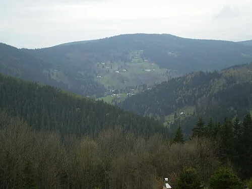 Šeřín Mountain, Hradec Králové Region9.6 km N
-
Tetřeví vrch Mountain, Dolní Dvůr10 km NE
-
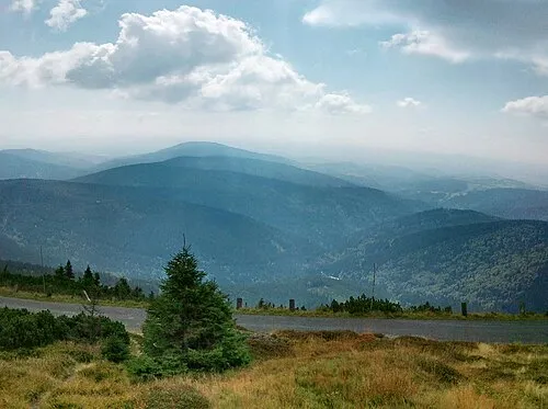 Černá Skála Mountain, Vítkovice11 km N
-
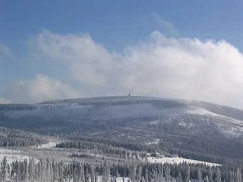 Černá hora Mountain, Janské Lázně13 km E
-
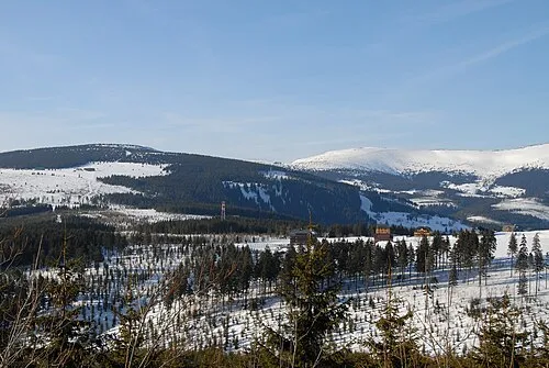 Liščí hora Mountain, Strážné13 km NE
Sources & licences
Data last updated: