Lomnice nad Popelkou
Located in Semily District, Liberec Region Coordinates: 50°31′48″ N 15°21′41″ E
- Elevation
- 508 m
- above sea level
- Local time
- UTC+01:00
- Europe/Prague · UTC+01:00
- Places inside
- 4
- listed under Lomnice nad Popelkou
About Lomnice nad Popelkou
Lomnice nad Popelkou is a municipality. Location: Semily District, Liberec Region. Elevation: 508 m.
In comparison
- Nearest larger town: Lomnice nad Popelkou, 1 km E
- 6 sights and natural places within 10 km Tábor, Bradlec
- Listed here: Village: 2, Mountain: 1, Town: 1
Airports nearest to Lomnice nad Popelkou
- Pardubice Airport (PED) Pardubice 63 km
- Václav Havel Airport Prague (PRG) Prague 92 km
- Copernicus Wrocław Airport (WRO) Wrocław 125 km
Straight-line distance; airports with scheduled flights only. Source: OurAirports (public domain).
Places in Lomnice nad Popelkou
4 places-
Lomnice nad Popelkou Town6K
-
Košov Village336
-
Černá Village268
-
Tábor Mountain
Nearby attractions & nature
Everything nearby-
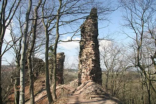 Bradlec Mountain, Syřenov5.9 km SE
-
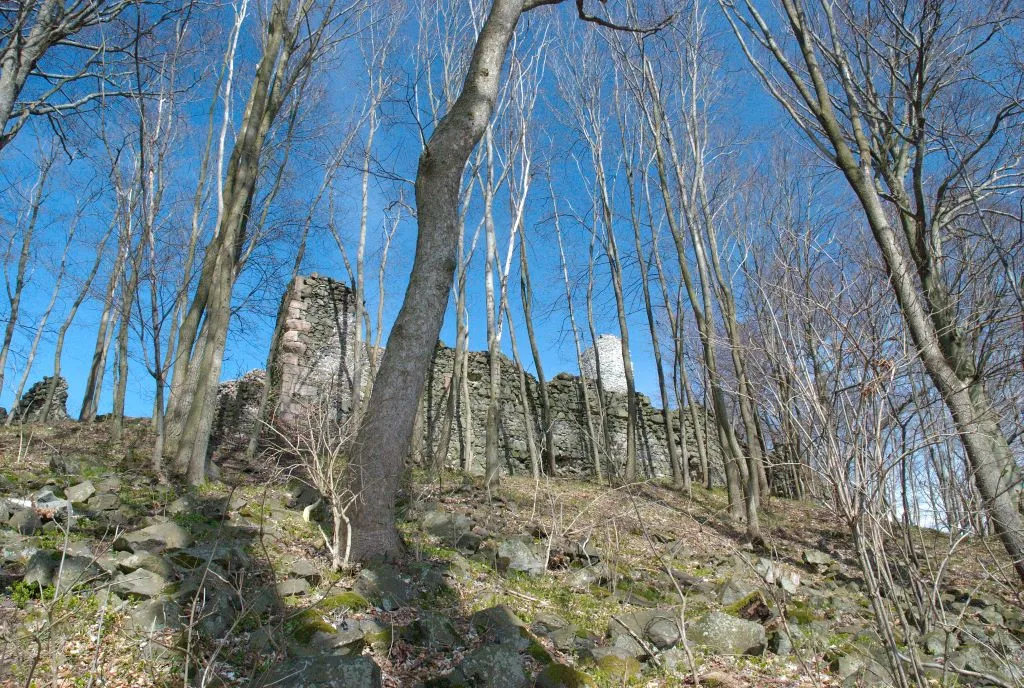 Kumburk Mountain, Hradec Králové Region7.3 km SE
-
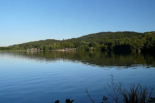 Přivýšina Mountain, Holín7.7 km S
-
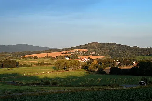 Střelečská hůra Mountain, Mladějov8.6 km SW
-
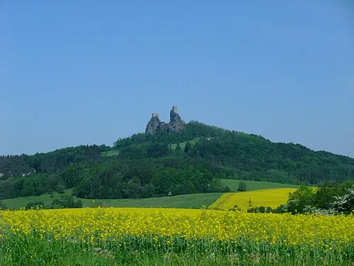 Trosky Mountain, Troskovice9.3 km W
-
Staropacká hora Mountain, Stará Paka11 km E
-
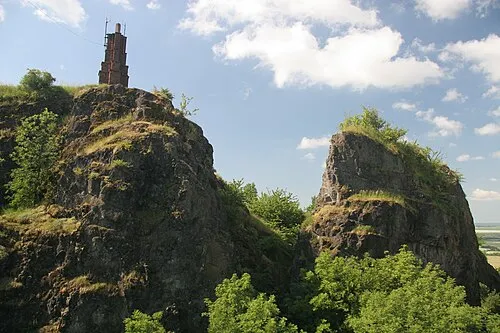 Veliš Mountain, Podhradí13 km S
-
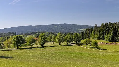 Černá Studnice Mountain, Smržovka22 km NW
Sources & licences
Data last updated: