Radhošť
Located in Moravian-Silesian Region, Czechia Coordinates: 49°29′28″ N 18°13′23″ E
- Elevation
- 1,129 m
- above sea level
- Local time
- UTC+01:00
- Europe/Prague · UTC+01:00
About Radhošť
Radhošť is a mountain. Location: Moravian-Silesian Region, Czechia. Elevation: 1,129 m.
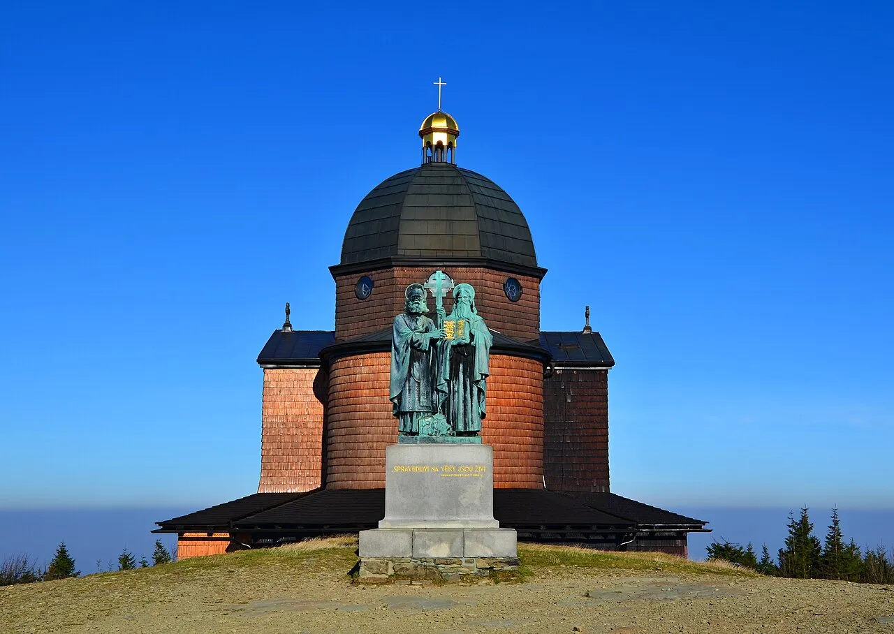
Radhošť (Czech pronunciation: [ˈradɦoʃc]) is a mountain in the Czech Republic. It has an elevation of 1,129 metres (3,704 ft) and belongs to the Moravian-Silesian Beskids mountain range. It is located in Dolní Bečva and Trojanovice municipalities in the Zlín and Moravian-Silesian regions, whose border runs along the ridge of the mountain.
Read more on Wikipedia Text: Wikipedia contributors · CC BY-SA 4.0 · shortened
At a glance
- Topographic prominence
- 124 m
Source: Wikidata
In comparison
- No. 61 of 1286 mountains in Czechia by elevation
- 8 sights and natural places within 10 km Radegast, Kyčera
Nearest towns and villages
-
Trojanovice Village, Trojanovice3.4 km N
-
Dolní Bečva Village, Dolní Bečva4.5 km SW
-
Trojanovice Municipality, Nový Jičín District2.3 km N
-
Dolní Bečva Municipality, Vsetín District2.5 km S
-
Frenštát pod Radhoštěm Town, Frenštát pod Radhoštěm6.4 km N
-
Rožnov pod Radhoštěm Town, Rožnov pod Radhoštěm6.8 km SW
Nearby attractions & nature
Everything nearby-
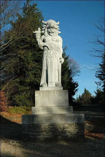 Radegast Mountain, Dolní Bečva2.5 km E
-
Kyčera Mountain, Rožnov pod Radhoštěm3.8 km NW
-
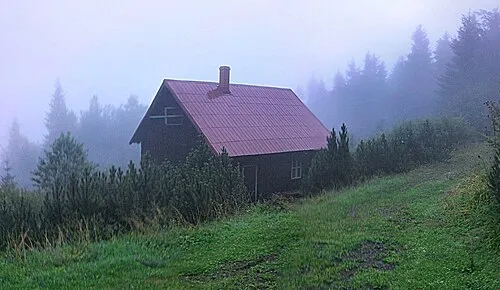 Velká Stolová Mountain, Čeladná6 km E
-
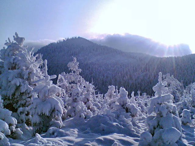 Kněhyně Mountain, Čeladná6.6 km E
-
Červenec Mountain, Horní Bečva6.6 km SE
-
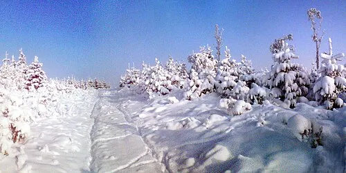 Malá Stolová Mountain, Čeladná7 km E
-
Kobylská Mountain, Horní Bečva8.4 km SE
-
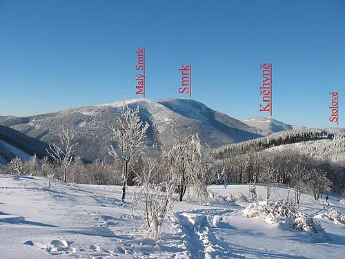 Smrk Mountain, Staré Hamry11 km E
More nature in Czechia
-
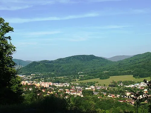 Červený kámen [Lichnov u Nového Jičína] Mountain, Lichnov11 km NW
-
Smrček Mountain, Čeladná11 km E
-
Hlásnice Mountain, Ženklava13 km NW
-
Lučovec Mountain, Bílá13 km SE
-
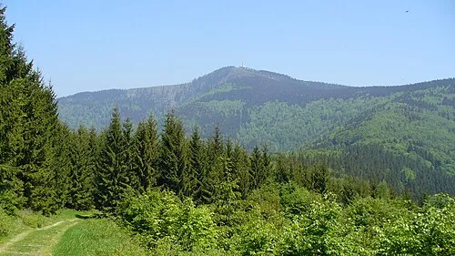 Lysá hora Mountain, Ostravice17 km E
-
Čupel [Staré Hamry 1] Mountain, Staré Hamry15 km E
Sources & licences
Data last updated: · 2 independent sources