Radvanice
Located in Přerov District, Olomouc Region Coordinates: 49°30′55″ N 17°29′13″ E
- Elevation
- 273 m
- above sea level
- Local time
- UTC+01:00
- Europe/Prague · UTC+01:00
- Places inside
- 2
- listed under Radvanice
About Radvanice
Radvanice is a municipality. Location: Přerov District, Olomouc Region. Elevation: 273 m.
In comparison
- Nearest larger town: Radvanice, 1 km SW
- 3 sights and natural places within 10 km Ubřezí, Chlum
- Listed here: Mountain: 1, Village: 1
Places in Radvanice
2 placesNearby attractions & nature
Everything nearby-
Chlum Mountain, Velký Týnec9.8 km W
-
Růžový Kopec Mountain, Libavá9.9 km N
-
Hradisko Mountain, Velký Týnec10 km W
-
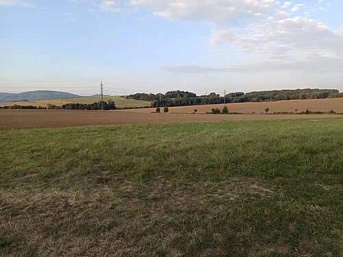 Nad Doly [Hranice-Slavíč] Mountain, Hranice12 km E
-
Lysina [Holešov-Žopy] Mountain, Holešov23 km SE
-
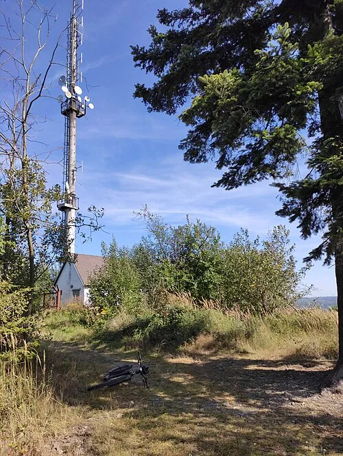 Jedová Mountain, Dolany20 km N
-
Skalice Mountain, Dolany20 km NW
-
Dílové Mountain, Křelov-Břuchotín25 km NW
Sources & licences
Data last updated: