Stašov
Located in Svitavy District, Pardubice Region Coordinates: 49°40′42″ N 16°22′10″ E
- Elevation
- 585 m
- above sea level
- Local time
- UTC+01:00
- Europe/Prague · UTC+01:00
- Places inside
- 2
- listed under Stašov
About Stašov
Stašov is a municipality. Location: Svitavy District, Pardubice Region. Elevation: 585 m.
In comparison
- Nearest larger town: Stašov, 0 km S
- 5 sights and natural places within 10 km Drašarov, Na Drahách - N
- Listed here: Mountain: 1, Village: 1
Places in Stašov
2 placesNearby attractions & nature
Everything nearby-
Na Drahách - N Mountain, Rohozná3.7 km SE
-
Na Drahách - S Mountain, Rohozná4.2 km SE
-
Librův Kopec Mountain, Nedvězí7.1 km SW
-
Kočíko Mountain, Pardubice Region8.5 km SW
-
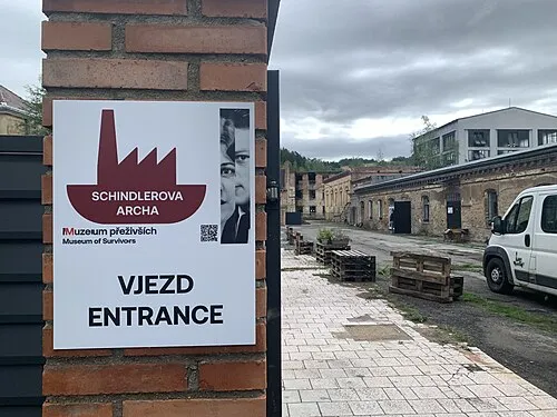 Brünnlitz Concentration Camp Historic site, Brněnec12 km SE
-
Na jedli Mountain, Pardubice Region11 km SW
-
Člup Mountain, Rozhraní15 km SE
-
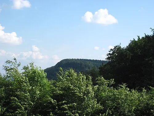 Roh Mountain, Moravská Třebová16 km E
Sources & licences
Data last updated: