Vranová Lhota
Located in Svitavy District, Pardubice Region Coordinates: 49°42′34″ N 16°49′27″ E
- Elevation
- 300 m
- above sea level
- Local time
- UTC+01:00
- Europe/Prague · UTC+01:00
- Places inside
- 1
- listed under Vranová Lhota
About Vranová Lhota
Vranová Lhota is a municipality. Location: Svitavy District, Pardubice Region. Elevation: 300 m.
In comparison
- Nearest larger town: Vranová Lhota, 0 km NE
- 4 sights and natural places within 10 km Ousov[Hartinkov], Nectavské Údolí
Airports nearest to Vranová Lhota
- Brno-Tuřany Airport (BRQ) Brno 63 km
- Pardubice Airport (PED) Pardubice 85 km
- Leoš Janáček Airport Ostrava (OSR) Mošnov 93 km
Straight-line distance; airports with scheduled flights only. Source: OurAirports (public domain).
Places in Vranová Lhota
1 place-
Vranová Lhota Village486
Nearby attractions & nature
Everything nearby-
Ousov[Hartinkov] Mountain, Hartinkov2.9 km S
-
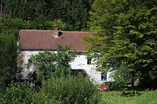 Nectavské Údolí Natural site, Pardubice Region7.3 km S
-
Husák Mountain, Městečko Trnávka9.1 km W
-
Široká Mountain, Luká9.7 km SE
-
Arnoštovský vrch Mountain, Dlouhá Loučka12 km W
-
Pandurka Mountain, Bohuslavice14 km SE
-
Vrchy Mountain, Hynčina15 km N
-
Skalka Mountain, Jestřebí15 km N
Sources & licences
Data last updated: