Lackenberg
Located in Prášily, Klatovy District Coordinates: 49°06′17″ N 13°18′50″ E
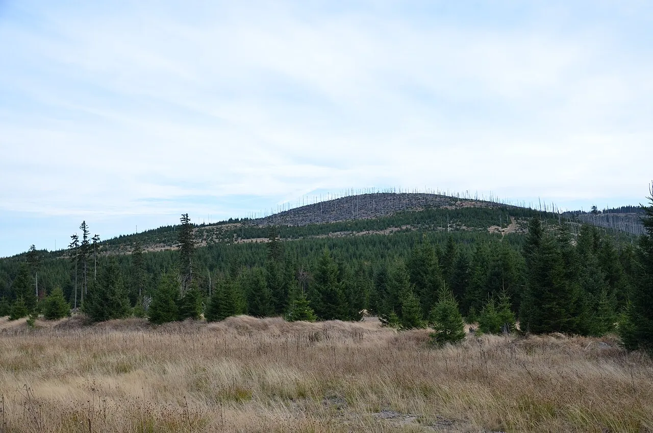
- Elevation
- 1,337 m
- above sea level
- Local time
- UTC+01:00
- Europe/Prague · UTC+01:00
About Lackenberg
Lackenberg is a mountain. Location: Prášily, Klatovy District. Elevation: 1,337 m.
Lackenberg (Czech: Plesná or Debrník) is a mountain of the Bavarian Forest (German: Bayerischer Wald) and Bohemian Forest, (Czech: Šumava) on the border between Germany and the Czech Republic.
Read more on Wikipedia Text: Wikipedia contributors · CC BY-SA 4.0 · shortened
At a glance
- Topographic prominence
- 263 m
Source: Wikidata
In comparison
- No. 22 of 1286 mountains in Czechia by elevation
- 17 sights and natural places within 10 km Ždánidla, Ruckwiesberg
Nearest towns and villages
-
Prášily Village, Prášily4.7 km E
-
Železná Ruda Village, Železná Ruda6.8 km NW
-
Ludwigsthal Village, Lindberg7.7 km SW
-
Bayerisch Eisenstein Village, Landkreis Regen8.4 km W
-
Lindberg Village, Landkreis Regen9.2 km SW
-
Bayerisch Eisenstein Village, Bayerisch Eisenstein8.4 km W
Nearby attractions & nature
Everything nearby-
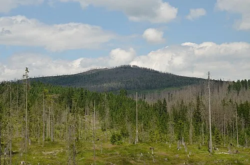 Ždánidla Mountain, Prášily2.4 km E
-
Ruckwiesberg Mountain, Lindberg2.5 km SW
-
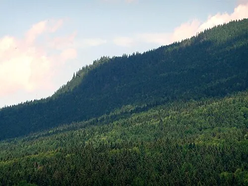 Kleiner Falkenstein Mountain, Lindberg3.5 km SW
-
 Scheuereckberg Mountain, Lindberg4.3 km S
-
Großer Falkenstein Mountain, Lindberg3.1 km SW
-
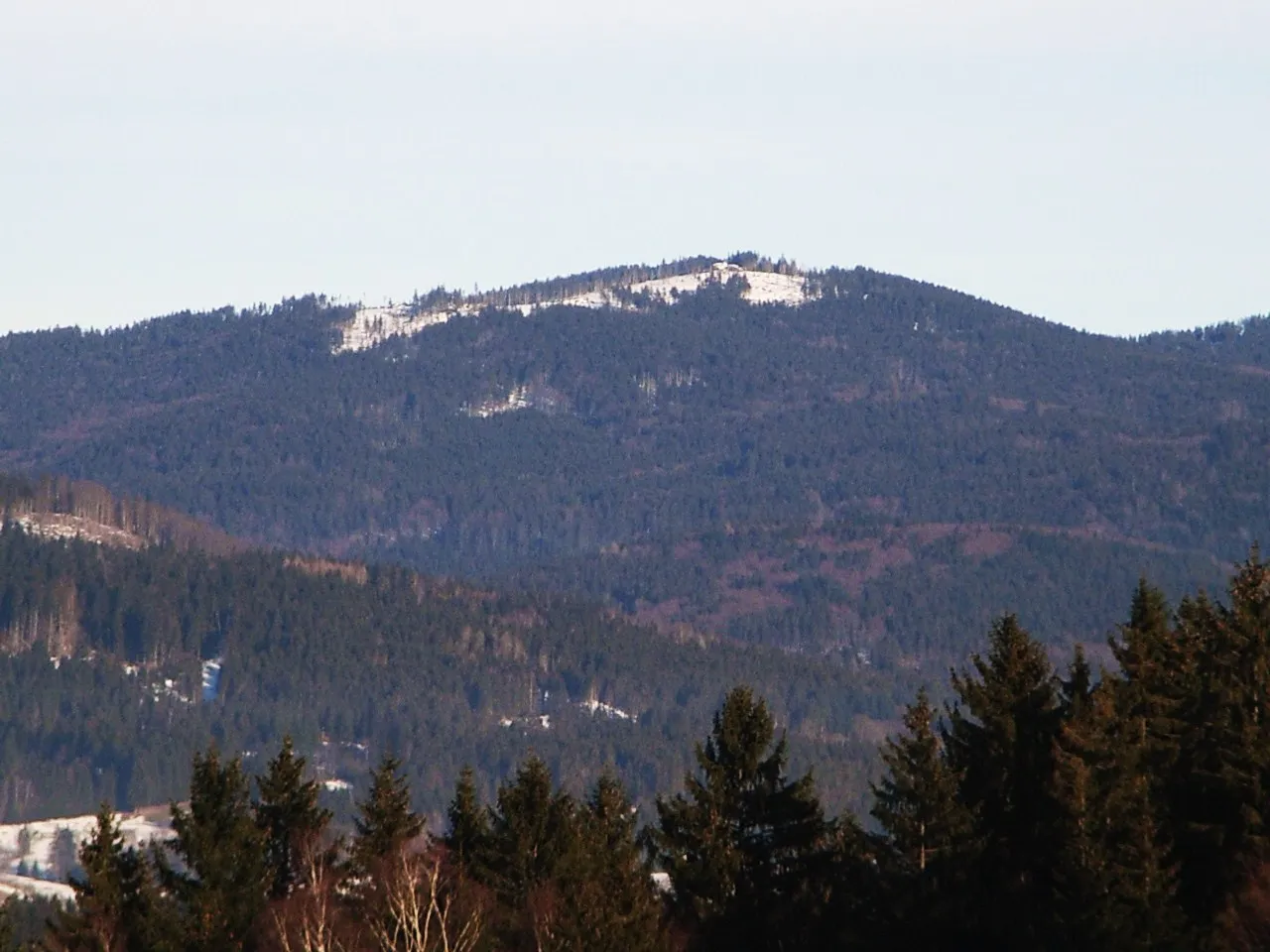 Kiesruck Mountain, Lindberg6.2 km SE
-
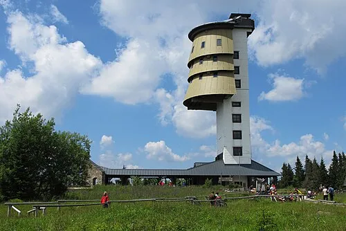 Poledník Mountain, Prášily7.5 km SE
-
Kühberg Mountain, Bayerisch Eisenstein7.5 km W
More nature in Czechia
-
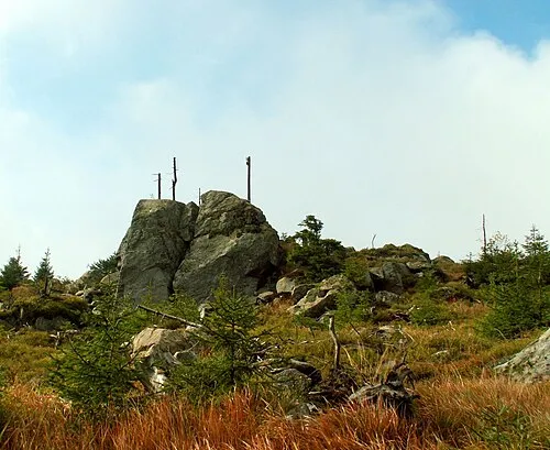 Oblík Mountain, Prášily11 km SE
-
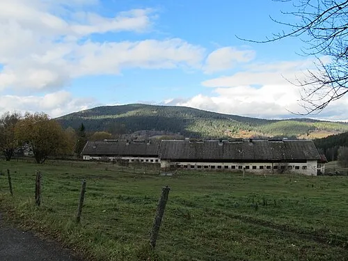 Křemelná Mountain, Prášily10 km E
-
(NováStudnice) [Prášily] Mountain, Prášily8.8 km E
-
Jezernice Mountain, Prášily9.1 km SE
Sources & licences
Data last updated: · 2 independent sources