Stádlec
Located in Tábor District, South Bohemian Region Coordinates: 49°22′23″ N 14°29′49″ E
- Elevation
- 437 m
- above sea level
- Local time
- UTC+01:00
- Europe/Prague · UTC+01:00
- Places inside
- 5
- listed under Stádlec
About Stádlec
Stádlec is a municipality. Location: Tábor District, South Bohemian Region. Elevation: 437 m.
In comparison
- Nearest larger town: Stádlec, 1 km N
- Listed here: Village: 5
Places in Stádlec
5 places-
Stádlec Village618
-
Slavňovice Village269
-
Křída Village241
-
Staré Sedlo Village216
-
Hájky Village115
Nearby attractions & nature
Everything nearby-
Planina Mountain, Sepekov11 km NW
-
Babina [Bechyně-Hvožďany] Mountain, Bechyně10 km SW
-
Smrčí Mountain, Jistebnice12 km N
-
Jenšovice Mountain, Milevsko17 km NW
-
Středočeská Žulová vrchovina Mountain, Czechia20 km NW
-
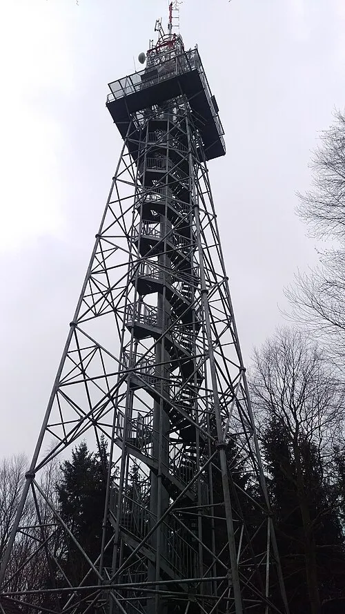 Jarník Mountain, Písek23 km W
-
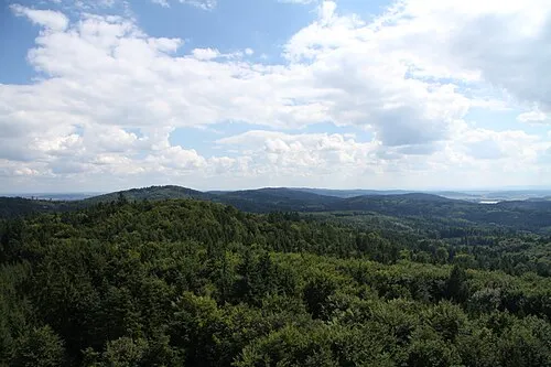 Velký Mehelník Mountain, Písek22 km SW
-
Čertovo Břemeno Mountain, Central Bohemia18 km N
Sources & licences
Data last updated: